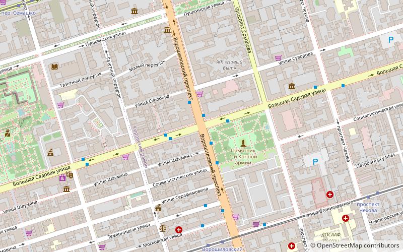
Vorosilovskij most, Rostov-on-Don
Map
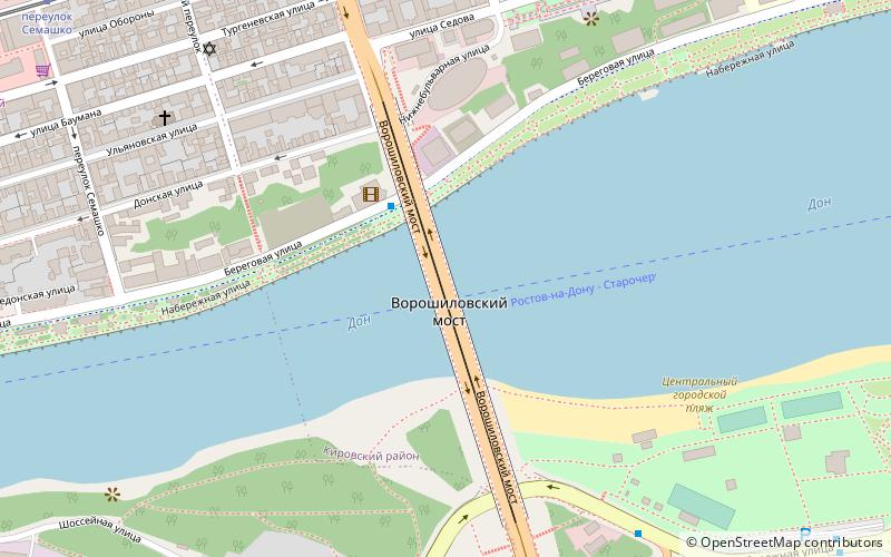
Map

Facts and practical information
Voroshilovsky bridge is a bridge in Rostov-on-Don over the river Don. It was built in 1961–1965 by project engineer N. I. Kuznetsov and architect S. A. Kleiman. During the building of bridge glue joints were used. This was the first use ever of this technique instead of welded and bolt connections. The bridge connects Rostov with other city-satellites, including Bataisk and Azov. The bridge got its name due to being a continuation of the avenue of the same name. ()
Alternative names: Opened: 1965 (61 years ago)Length: 1476 ftWidth: 39 ftHeight: 105 ftCoordinates: 47°12'52"N, 39°43'21"E
Address
Rostov-on-Don
ContactAdd
Social media
Add
Day trips
Vorosilovskij most – popular in the area (distance from the attraction)
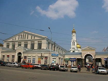
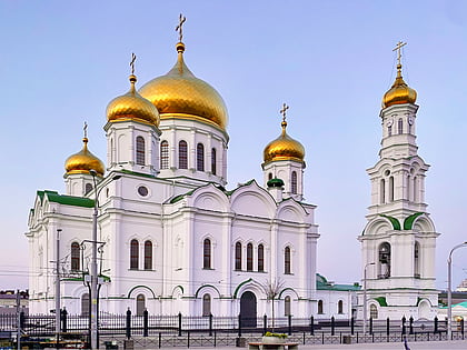
Nearby attractions include: Central Market, Rostov-on-Don Palace of Sports, Cathedral of the Nativity of the Blessed Virgin Mary, Old Believers Pokrovsky Cathedral.
Frequently Asked Questions (FAQ)
Which popular attractions are close to Vorosilovskij most?
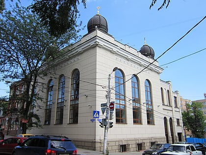
Nearby attractions include Main Choral Synagogue, Rostov-on-Don (7 min walk), Residential house of Nikolai Panin, Rostov-on-Don (8 min walk), Old Believers Pokrovsky Cathedral, Rostov-on-Don (8 min walk), Soldier Synagogue, Rostov-on-Don (8 min walk).
How to get to Vorosilovskij most by public transport?
The nearest stations to Vorosilovskij most:
Tram
Bus
Trolleybus
Train
Tram
- Ворошиловский проспект • Lines: 1, 4 (9 min walk)
- проспект Чехова • Lines: 1, 4 (12 min walk)
Bus
- Часовой завод • Lines: 101 (10 min walk)
- ул. Московская • Lines: 1 (10 min walk)
Trolleybus
- Центральный рынок • Lines: 14 (17 min walk)
- Консерватория • Lines: 14 (20 min walk)
Train
- Заречная (26 min walk)

