Alburi Lam
Map

Map

Facts and practical information
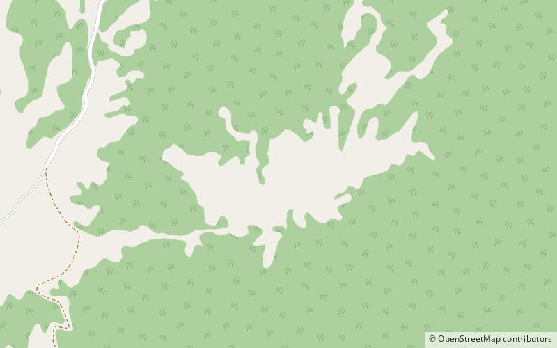
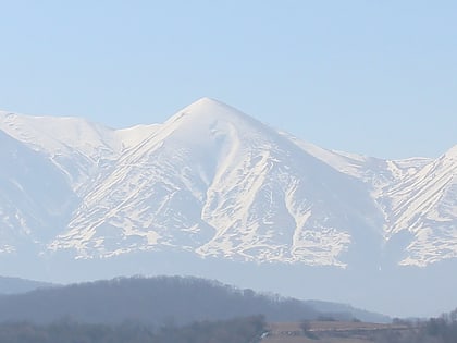
Mountain Alburi Lam is located in the Kazbekovsky District of Dagestan, bordering Chechnya, to the west of Mount Tsanta. A continuation of Salatau ridge, it lies at an altitude of 2177,0 meters, close to the villages Almak, Burtunay, Simsir, Majgars, Shircha-Evla and the now non-existent Alburi-Otar and Haniduk. ()
Location
Chechnya
ContactAdd
Social media
Add
