Starik-Kamen

Gallery (1)
Map
Map
Facts and practical information
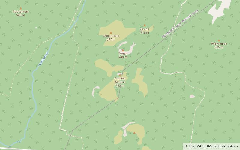
Starik-Kamen, a mountain in the Middle Urals in the Sverdlovsk region of Russia, one of the highest peaks of the ridge of the Merry Mountains. The height of the mountain - 755 m. It is the highest mountain in the municipality "Nizhny Tagil city" and the highest mountain peak in the area as a whole. State landscape reserve, a popular place for recreation, tourism and mountain climbing.
Coordinates: 57°30'37"N, 59°42'19"E
Location
Sverdlovsk
ContactAdd
Social media
Add