Nagatinsky Zaton District, Moscow
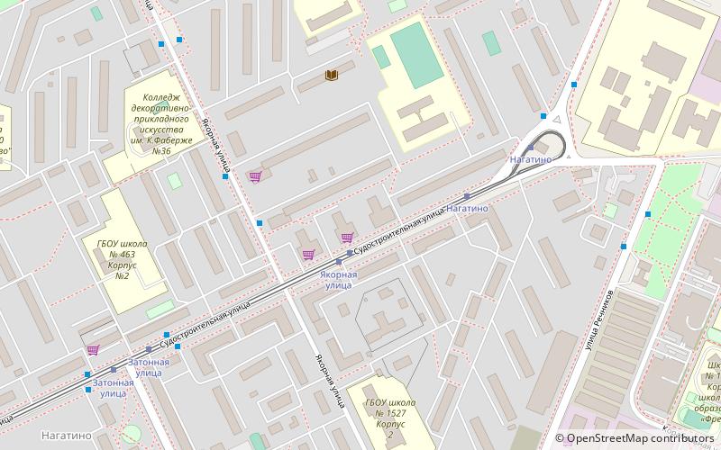
Map

Map

Facts and practical information
Nagatinsky Zaton District is a district in Southern Administrative Okrug of Moscow, Russia, located on the right bank of the Moskva River. The name Nagatino comes from a former village, known since the 14th century, which was engulfed by Moscow in 1960. District authorities control Kolomenskoye park, four permanently uninhabited islands on Moskva River and the peninsula of Nagatino Poima on its opposite, northern bank. ()
Day trips
Nagatinsky Zaton District – popular in the area (distance from the attraction)
Nearby attractions include: Dream Island Amusement Park, Nikolo-Perervinsky Monastery, Church of the Ascension, South River Terminal.
Frequently Asked Questions (FAQ)
How to get to Nagatinsky Zaton District by public transport?
The nearest stations to Nagatinsky Zaton District:
Tram
Bus
Metro
Tram
- Якорная улица • Lines: 47, 49 (1 min walk)
- Нагатино • Lines: 47, 49 (4 min walk)
Bus
- Якорная улица, дом 9 • Lines: м19 (3 min walk)
- Нагатино • Lines: 824 (6 min walk)
Metro
- Kolomenskaya (26 min walk)
- Технопарк (28 min walk)

 Metro
Metro


