Troparyovo-Nikulino District, Moscow
Map
Gallery
Facts and practical information
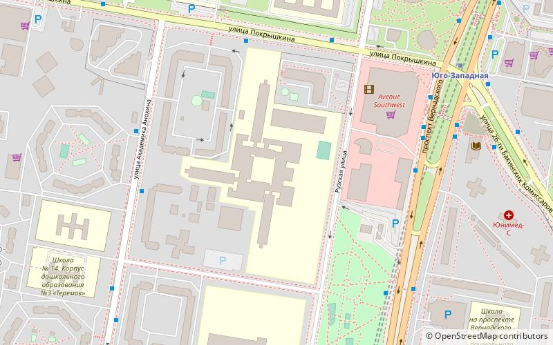
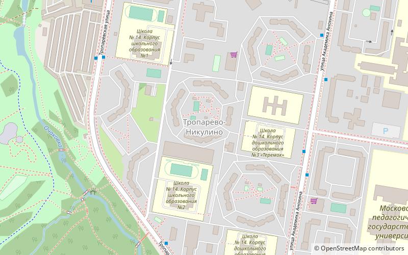
Troparyovo-Nikulino District is an administrative district at the southern edge of Western Administrative Okrug, and one of the 125 raions of Moscow, Russia. The western border is the Moscow Ring Road, and the southern border is Leninsky Prospekt. The area of the district is 11.26 square kilometers. Population: 119,000 ()
Day trips
Troparyovo-Nikulino District – popular in the area (distance from the attraction)
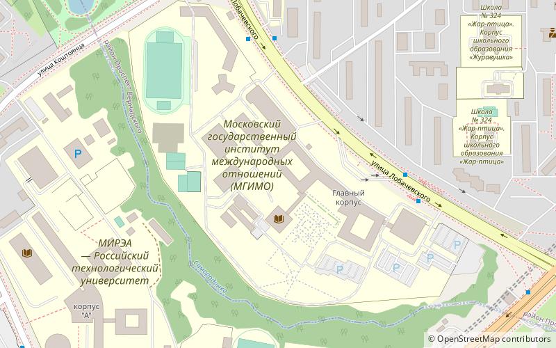
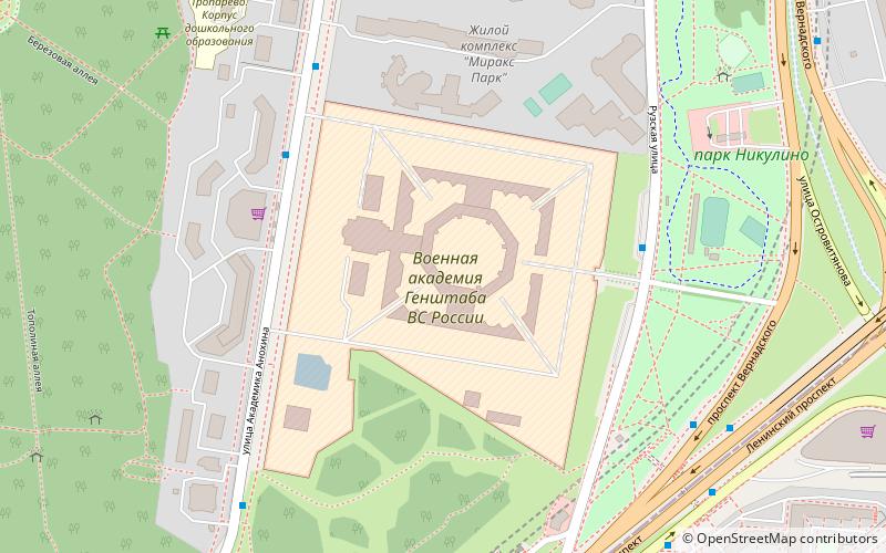
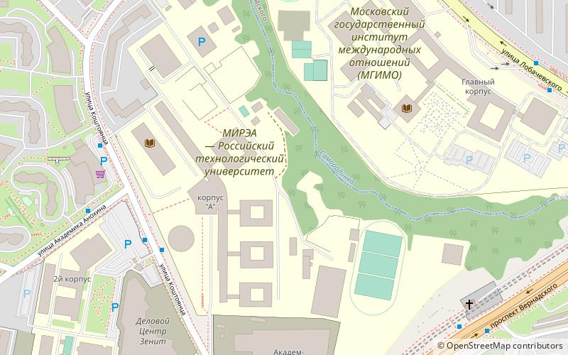
Nearby attractions include: Moscow State Institute of International Relations, Moscow State Pedagogical University, Russian Presidential Academy of National Economy and Public Administration, Military Academy of the General Staff of the Armed Forces of Russia.
Frequently Asked Questions (FAQ)
Which popular attractions are close to Troparyovo-Nikulino District?
Nearby attractions include Moscow State University of Fine Chemical Technologies, Moscow (10 min walk), Russian Presidential Academy of National Economy and Public Administration, Moscow (15 min walk), Moscow State Pedagogical University, Moscow (17 min walk), Military Academy of the General Staff of the Armed Forces of Russia, Moscow (20 min walk).
How to get to Troparyovo-Nikulino District by public transport?
The nearest stations to Troparyovo-Nikulino District:
Bus
Metro
Bus
- Улица Академика Анохина • Lines: 667 (5 min walk)
- Школа 14 • Lines: 667 (6 min walk)
Metro
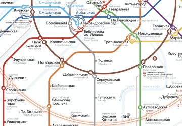
- Yugo-Zapadnaya (17 min walk)
- Troparyovo (26 min walk)

 Metro
Metro