Shchukino District, Moscow
Map

Map

Facts and practical information
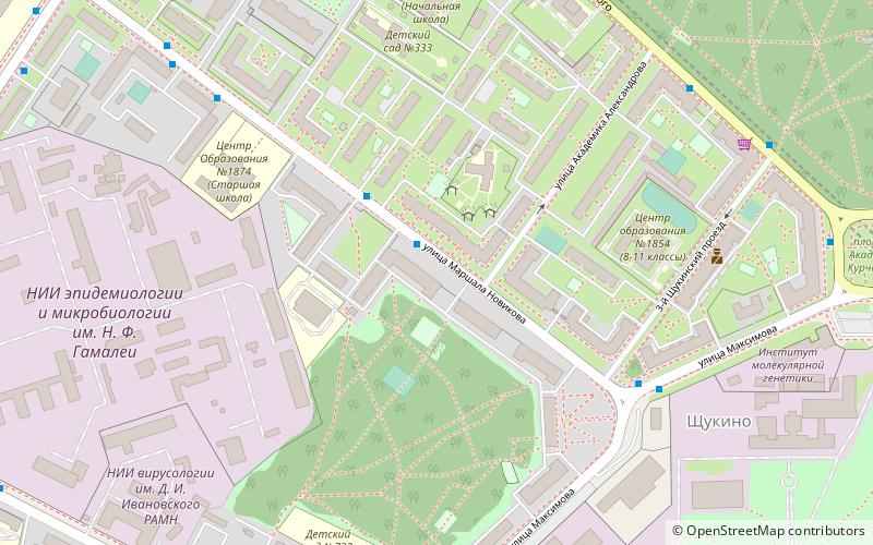
Shchukino District is an administrative district of North-Western Administrative Okrug, and one of the 125 administrative districts of the federal city of Moscow, Russia. It borders with Pokrovskoye-Streshnevo District in the south, Strogino District in the east, Khoroshevo-Mnevniki District in the north, and in the west there is the boundary between North-Western and Northern Administrative Okrugs. The area of the district is 7.68 square kilometers. Population: 105,665 ; 89,454 . ()
Day trips
Shchukino District – popular in the area (distance from the attraction)
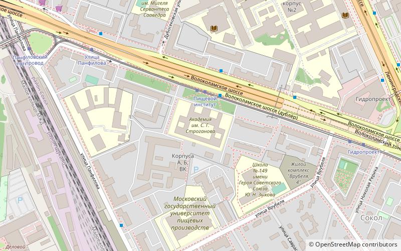
Nearby attractions include: Spartak, Marshala Koneva Street, Moscow-Riga Railroad Bridge, Stroganov Moscow State Academy of Arts and Industry.
Frequently Asked Questions (FAQ)
How to get to Shchukino District by public transport?
The nearest stations to Shchukino District:
Bus
Metro
Tram
Train
Bus
- Улица Маршала Новикова • Lines: 253 (2 min walk)
- Площадь Генерала Жадова • Lines: 100, 253, 60, 681 (5 min walk)
Metro
- Shchukinskaya (12 min walk)
- Oktyabrskoye Pole (31 min walk)
Tram
- Медицинский центр имени Бурназяна • Lines: 10, 21, 28к (13 min walk)
- Диспансер (15 min walk)
Train
- Shchukinskaya (18 min walk)
- Серебряный Бор (28 min walk)

 Metro
Metro


