Tsaritsyno District, Moscow
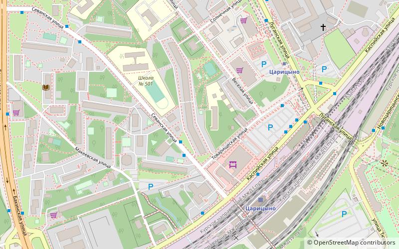
Map

Map

Facts and practical information
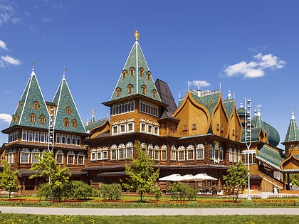
Tsaritsyno is a district within the Southern Administrative Okrug of Moscow. Area: 426,2 ha. Its current name is traced back to 1775. Previously, Tsaritsyno was known under several other names: the Chernogryaznaya Waste, Chernaya Gryaz, Bogorodskoye settlement and Lenino. Tsaritsyno hosts such landmarks as Tsaritsyno Palace and Arshinovskiy Forest Park. ()
Day trips
Tsaritsyno District – popular in the area (distance from the attraction)
Nearby attractions include: Kolomenskoye, Tsaritsyno Park, Columbus, Sadovniki Park.
Frequently Asked Questions (FAQ)
Which popular attractions are close to Tsaritsyno District?
Nearby attractions include Grand Palace, Moscow (19 min walk), Tsaritsyno Park, Moscow (19 min walk).
How to get to Tsaritsyno District by public transport?
The nearest stations to Tsaritsyno District:
Bus
Train
Metro
Bus
- Товарищеская улица • Lines: с869 (2 min walk)
- Станция Царицыно 2b • Lines: 814, м89, с869 (4 min walk)
Train
- Tsaritsyno (5 min walk)
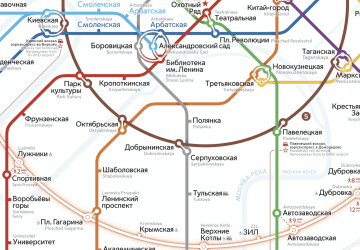
Metro
- Tsaritsyno (5 min walk)
- Kantemirovskaya (30 min walk)

 Metro
Metro


