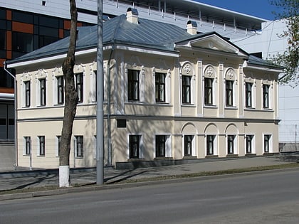
CPKiO im. Maakovskogo, Yekaterinburg
Map
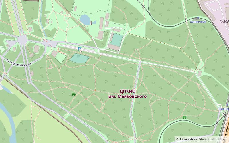
Map

Facts and practical information
Mayakovsky Central Park of Culture and Recreation is Yekaterinburg's main park, a recreation place for citizens, where the main events related to popular festivities are held, as well as various concerts in the open area.
Coordinates: 56°48'48"N, 60°38'47"E
Day trips
CPKiO im. Maakovskogo – popular in the area (distance from the attraction)
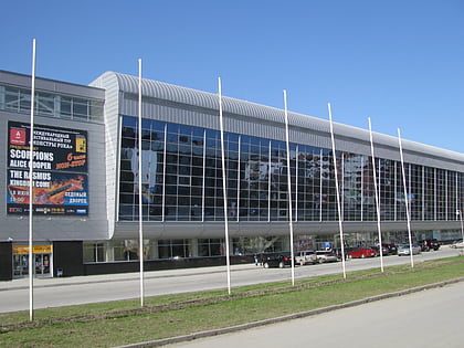
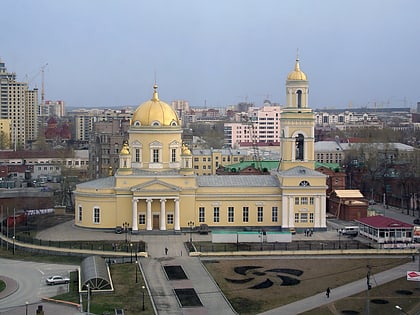
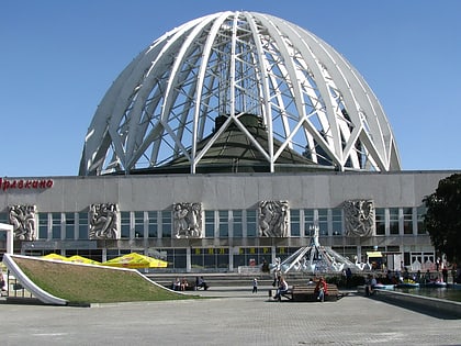
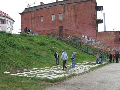
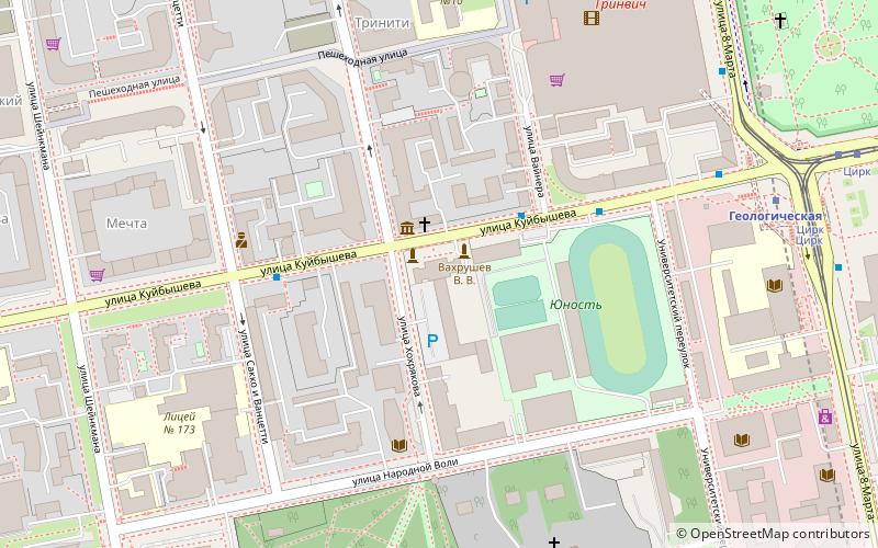
Nearby attractions include: KRK Uralets, Trinity Cathedral, Circus, Keyboard monument.
Frequently Asked Questions (FAQ)
How to get to CPKiO im. Maakovskogo by public transport?
The nearest stations to CPKiO im. Maakovskogo:
Train
Tram
Trolleybus
Bus
Metro
Train
- Солнечная (8 min walk)
- Юбилейная (8 min walk)
Tram
- Central park of culture and rest • Lines: 10, 20, 21, 3, 33, 6, 9 (12 min walk)
- Tveritin street • Lines: 10, 20, 21, 3, 33, 6, 9 (20 min walk)
Trolleybus
- The Central park • Lines: 5 (14 min walk)
- Shchorsa street • Lines: 1, 11, 14, 15, 20, 5, 6, 9 (24 min walk)
Bus
- Bazovyy lane • Lines: 011 (15 min walk)
- Delovoy kvartal • Lines: 047, 24, 56, 65, 71 (20 min walk)
Metro
- Botanicheskaya • Lines: 1 (32 min walk)

