Rostokino District, Moscow
Map
Map

Facts and practical information
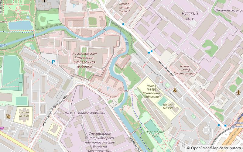
Rostokino District is an administrative district, one of the seventeen in North-Eastern Administrative Okrug of the federal city of Moscow, Russia. It is located on both banks of the Yauza River and borders with Yaroslavsky District in the northeast, Sviblovo District in the northwest, and Ostankinsky District in the south. As of the 2010 Census, the total population of the district was 37,505. ()
Day trips
Rostokino District – popular in the area (distance from the attraction)
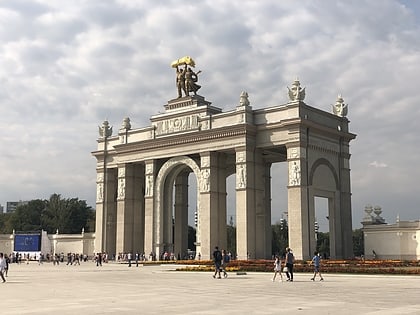
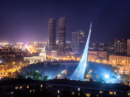
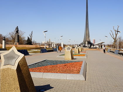
Nearby attractions include: Exhibition of Achievements of National Economy, Monument to the Conquerors of Space, Cosmonauts Alley, Rostokino Aqueduct.
Frequently Asked Questions (FAQ)
Which popular attractions are close to Rostokino District?
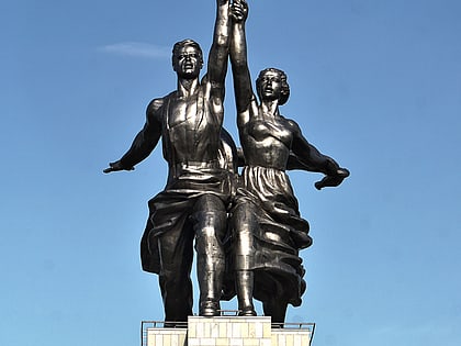
Nearby attractions include Gerasimov Institute of Cinematography, Moscow (13 min walk), Rostokino Aqueduct, Moscow (19 min walk), Moscow Pavilion, Moscow (19 min walk), Worker and Kolkhoz Woman, Moscow (19 min walk).
How to get to Rostokino District by public transport?
The nearest stations to Rostokino District:
Bus
Tram
Train
Metro
Bus
- Мехкомбинат • Lines: 195, 789 (3 min walk)
- Швейное объединение Смена • Lines: 195 (4 min walk)
Tram
- Улица Докукина • Lines: 17 (9 min walk)
- Сельскохозяйственная улица • Lines: 17 (12 min walk)
Train
- Ростокино (11 min walk)
- Улица Сергея Эйзенштейна (17 min walk)
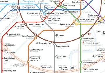
Metro
- Botanical Garden (16 min walk)
- Sviblovo (30 min walk)

 Metro
Metro