Butyrsky District, Moscow
Map

Map

Facts and practical information
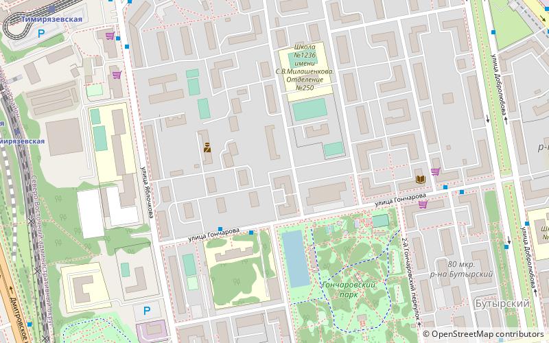
Butyrsky District is an administrative district of North-Eastern Administrative Okrug, and one of the 125 raions of Moscow, Russia. It is 6 km north of the Moscow city center, located just outside the third ring road, with Timiryazevsky District to the west and Marfino District and Maryina roshcha District to the east. The area of the district is 5.04 square kilometers. Population: 68,700. ()
Day trips
Butyrsky District – popular in the area (distance from the attraction)
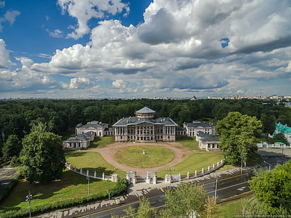
Nearby attractions include: Ostankino Palace, Ostankino Tower, Savyolovsky District, Timiryazevsky District.
Frequently Asked Questions (FAQ)
How to get to Butyrsky District by public transport?
The nearest stations to Butyrsky District:
Bus
Train
Metro
Tram
Bus
- Туберкулёзный диспансер 18 • Lines: 126 (3 min walk)
- 2-й Гончаровский переулок • Lines: 126 (6 min walk)
Train
- Тимирязевская (9 min walk)
- Улица Милашенкова (12 min walk)
Metro
- Timiryazevskaya (10 min walk)
- Фонвизинская (13 min walk)
Tram
- Улица Всеволода Вишневского (16 min walk)
- Метро Дмитровская (16 min walk)

 Metro
Metro


