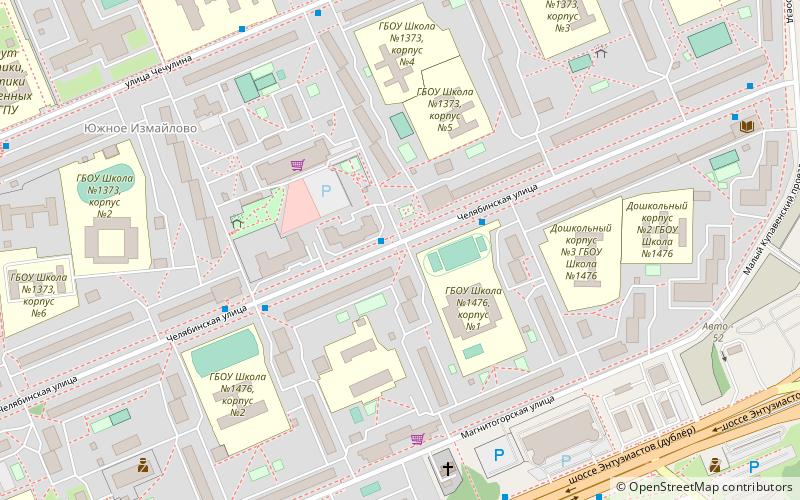
Chelyabinskaya Street, Moscow
Map
Facts and practical information
Chelyabinskaya Street is located in the residential community of Yuzhnoye Izmaylovo in the Eastern Administrative Okrug of Moscow. The street was built in the mid 1970s as a central street for Yuzhnoye Izmaylovo. Named in 1975 for the city of Chelyabinsk, the regional center of Russia, due to its location in the east of Moscow. ()
Address
Восточный административный окру (Ивановское)Moscow
ContactAdd
Social media
Add
Getting there by public transportation
Public transportation stops near this location
- Bus
- Tram
 Bus
Bus
- Calculate routeЧелябинская улица, 21 1 min walk
- Calculate routeПочта 4 min walk
- Calculate routeУлица Чечулина, 14 6 min walk
- Calculate route16-я Парковая улица 30 min walk
- Calculate route15-я Парковая улица 30 min walk
- Calculate route13-я Парковая улица 33 min walk
- Calculate routeКинотеатр Первомайский 37 min walk
Maps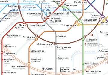 Metro
Metro
MetroDay trips


Frequently Asked Questions (FAQ)
Which popular attractions are close to Chelyabinskaya Street?
Nearby attractions include Ivanovskoye District, Moscow (19 min walk), Lebedyansky Ponds, Moscow (23 min walk).
How to get to Chelyabinskaya Street by public transport?
The nearest stations to Chelyabinskaya Street:
Bus
Tram
Bus
- Челябинская улица, 21 • Lines: 214, 257, 276, 52, 664, 702, 776, 974 (1 min walk)
- Почта • Lines: 214, 257, 276, 52, 664, 702, 776, 974 (4 min walk)
Tram
- 16-я Парковая улица • Lines: 11, 34 (30 min walk)
- 15-я Парковая улица • Lines: 11, 34 (30 min walk)