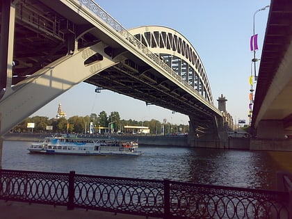
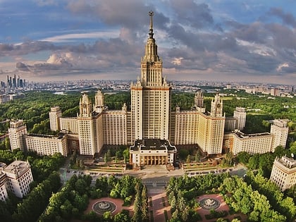
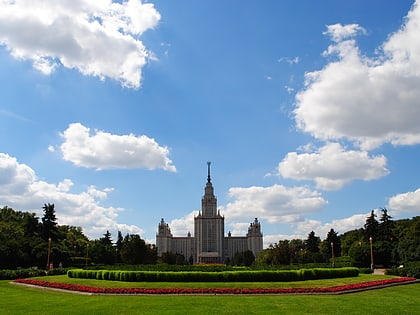
Druzhby Street, Moscow
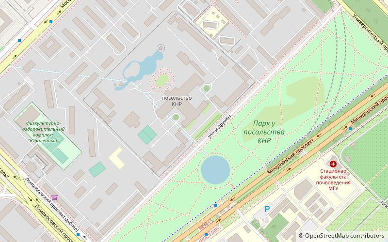
Map
Facts and practical information
Druzhby Street is a street in Ramenki District, West Administrative District, Moscow. The name literally means the street of friendship and apparently commemorates the good moments in the Soviet-Chinese ties, and now China-Russia relations, since the embassy of the People's Republic of China is a major landmark of the street. ()
Address
Западный административный округ (Раменки)Moscow
ContactAdd
Social media
Add
Day trips
Druzhby Street – popular in the area (distance from the attraction)
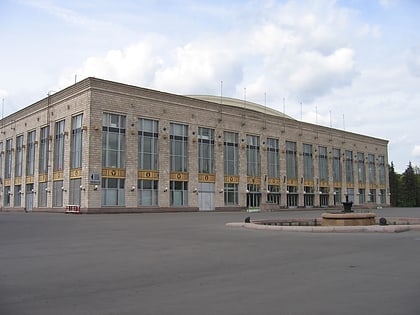
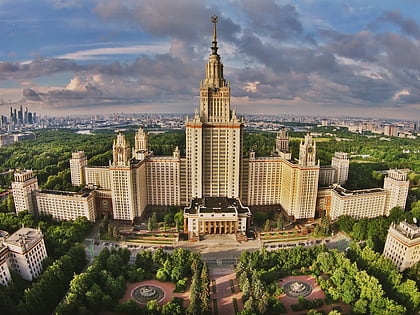
Nearby attractions include: Luzhniki Palace of Sports, Main building of Moscow State University, Moscow State Circus, MSU Faculty of History.
Frequently Asked Questions (FAQ)
Which popular attractions are close to Druzhby Street?
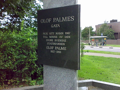
Nearby attractions include Ramenki District, Moscow (7 min walk), Mosfilmovskaya Street, Moscow (11 min walk), Ulofa Palme Street, Moscow (14 min walk), Seven Sisters, Moscow (19 min walk).
How to get to Druzhby Street by public transport?
The nearest stations to Druzhby Street:
Bus
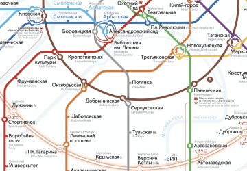
Metro
Bus
- Метро Ломоносовский проспект • Lines: 1, 130, 464, 470, 487, 908 (8 min walk)
- Ботанический сад МГУ • Lines: 1 (7 min walk)
Metro
- Lomonosovskiy prospect • Lines: 8А (6 min walk)
- Ramenki • Lines: 8А (29 min walk)
 Metro
Metro