Kotelnicheskaya Embankment, Moscow
Map

Map

Facts and practical information
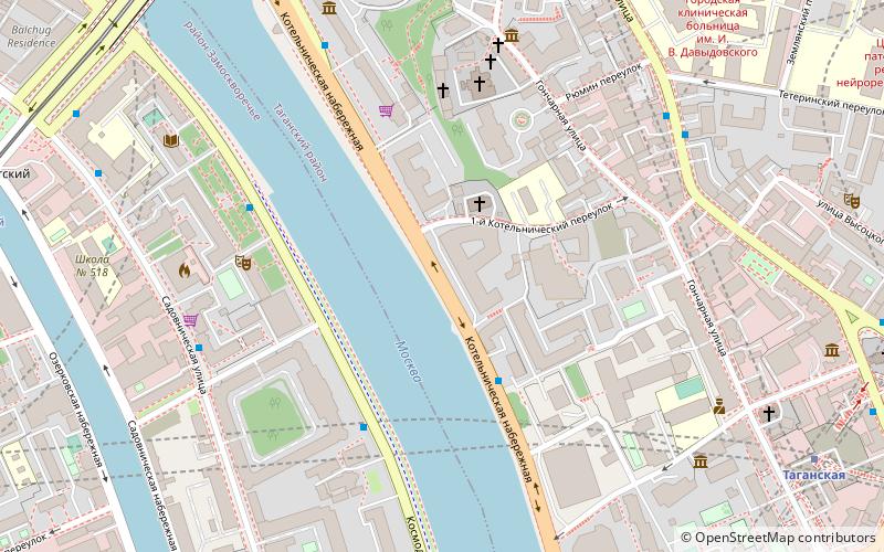
Kotelnicheskaya Embankment is a street on the northern bank of Moskva River in central Tagansky District of Moscow, Russia. It spans from the mouth of Yauza River to the point one block west from Bolshoy Krashokholmsky Bridge, where it changes name to Goncharnaya Embankment. Kotelnicheskaya Embankment is also famous for its high rise building, one of the Seven Sisters of Moscow built during the Stalin era. ()
Address
Центральный административный ок (Таганский)Moscow
ContactAdd
Social media
Add
Day trips
Kotelnicheskaya Embankment – popular in the area (distance from the attraction)
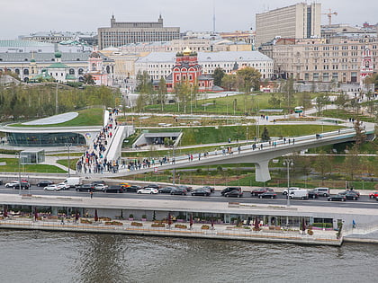
Nearby attractions include: Zaryadye Park, Tagansky Protected Command Point, Museum of Russian Icons, Bolshoy Ustinsky Bridge.
Frequently Asked Questions (FAQ)
Which popular attractions are close to Kotelnicheskaya Embankment?
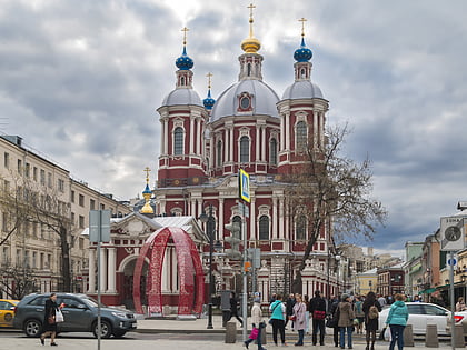
Nearby attractions include Church of Saint Nicetas, Moscow (4 min walk), D. F. Belyaev Townhouse, Moscow (5 min walk), Museum of Russian Icons, Moscow (6 min walk), Sadovnicheskaya Street, Moscow (6 min walk).
How to get to Kotelnicheskaya Embankment by public transport?
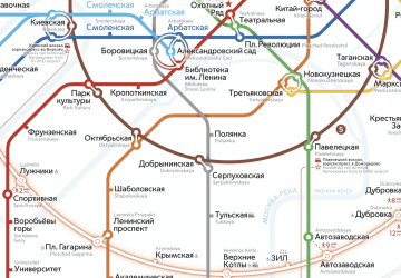
The nearest stations to Kotelnicheskaya Embankment:
Bus
Metro
Tram
Train
Bus
- 5-й Котельнический переулок • Lines: 156 (3 min walk)
- Комиссариатский переулок • Lines: с920 (4 min walk)
Metro
- Taganskaya (9 min walk)
- Marksistskaya • Lines: 8 (11 min walk)
Tram
- Комиссариатский мост • Lines: 3, 39, А (10 min walk)
- Яузские Ворота — Памятник Пограничникам Отечества • Lines: 3, 39, А (12 min walk)
Train
- Moscow Paveletsky railway station (26 min walk)
- Moscow Kursky railway station (31 min walk)

 Metro
Metro


