Smolny, Saint Petersburg

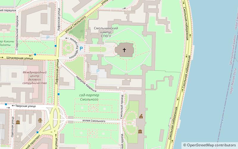
Map
Facts and practical information
Smolny is a place name in central Saint Petersburg, Russia. It is a compound of historically interrelated buildings erected in 18th and 19th centuries. As the most widely known of the buildings, the Smolny Institute, has been used as the seat of the City Governor's Office; its name is associated with city authorities. ()
Coordinates: 59°56'53"N, 30°23'42"E
Address
Центральный район (Смольнинское)Saint Petersburg
ContactAdd
Social media
Add
Day trips
Smolny – popular in the area (distance from the attraction)
Nearby attractions include: Smolny Convent, Tauride Palace, Oktyabrskiy Big Concert Hall, Bolsheokhtinsky Bridge.
Frequently Asked Questions (FAQ)
Which popular attractions are close to Smolny?
Nearby attractions include Smolny Convent, Saint Petersburg (2 min walk), Istoriko-memorialnyj muzej "Smolnyj", Saint Petersburg (4 min walk), Kikin Hall, Saint Petersburg (8 min walk), Bolsheokhtinsky Bridge, Saint Petersburg (11 min walk).
How to get to Smolny by public transport?
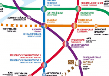
The nearest stations to Smolny:
Bus
Trolleybus
Tram
Bus
- Лафонская улица • Lines: 136, 169А (5 min walk)
- Смольный • Lines: 136, 169А, 46, 74 (7 min walk)
Trolleybus
- Смольный • Lines: 11, 15, 5 (9 min walk)
- улица Красного Текстильщика • Lines: 16, 33, 7 (10 min walk)
Tram
- Красногвардейская площадь • Lines: 10, 23 (18 min walk)
- Шепетовская улица • Lines: 10, 23 (18 min walk)
 Metro
Metro


