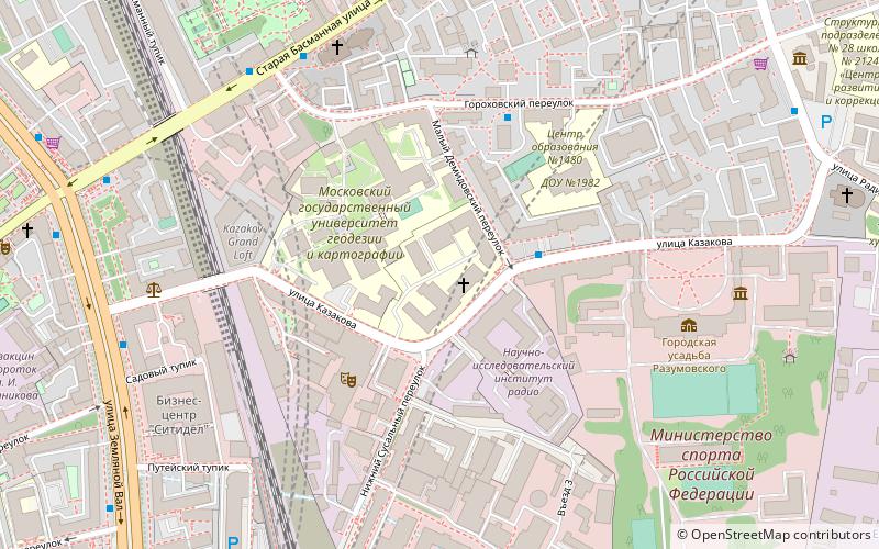
State University of Land Use Planning, Moscow
Map
Facts and practical information
State University of Land Use Planning, formerly Moscow State University of Land Management, State University of Farming, is one of the oldest universities in Russia. ()
Getting there by public transportation
Public transportation stops near this location
- Metro
- Bus
- Tram
- Train
 Metro
Metro
- Calculate routeСад имени Баумана 6 min walk
- Calculate routeУлица Казакова 7 min walk
- Calculate routeМосковский Транспорт - Улица Александра Лукьянова 7 min walk
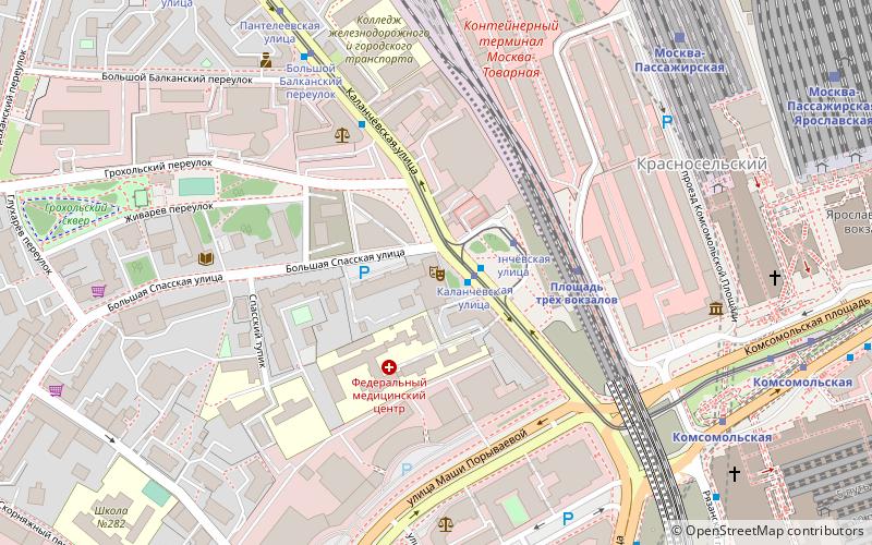
- Calculate routeMoscow Kursky railway station 10 min walk
- Calculate routeKazan Passenger Moscow 20 min walk
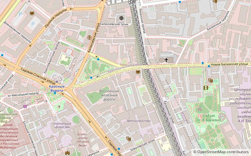
- Calculate routeKalanchyovskaya 27 min walk
- Calculate routeMoscow Yaroslavsky railway station 28 min walk
- Calculate routeДоброслободская улица 10 min walk
- Calculate routeЕлизаветинский переулок 11 min walk
- Calculate routeНабережная Академика Туполева 12 min walk
- Calculate routeКурский вокзал 15 min walk
- Calculate routeKurskaya 11 min walk
- Calculate routeChkalovskaya 14 min walk
- Calculate routeKrasnye Vorota 18 min walk
- Calculate routeKomsomolskaya 23 min walk
Maps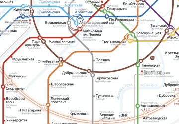 Metro
Metro
MetroDay trips


Frequently Asked Questions (FAQ)
Which popular attractions are close to State University of Land Use Planning?
Nearby attractions include Basmanny District, Moscow (10 min walk), Moscow Contemporary Art Center Winzavod, Moscow (13 min walk), Town Estate of Popov — Elagin, Moscow (14 min walk), Moscow House of Nationalities, Moscow (15 min walk).
How to get to State University of Land Use Planning by public transport?
The nearest stations to State University of Land Use Planning:
Bus
Train
Tram
Metro
Bus
- Сад имени Баумана • Lines: м3, м3к (6 min walk)
- Улица Казакова • Lines: 40, Б (7 min walk)
Train
- Moscow Kursky railway station (10 min walk)
- Kazan Passenger Moscow (20 min walk)
Tram
- Доброслободская улица • Lines: 24 (10 min walk)
- Елизаветинский переулок • Lines: 24 (11 min walk)
Metro
- Kurskaya • Lines: 3 (11 min walk)
- Chkalovskaya (14 min walk)