Yekaterinburg-City, Yekaterinburg
Map
Gallery
Facts and practical information
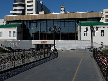
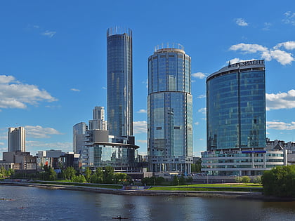
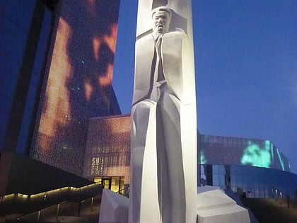
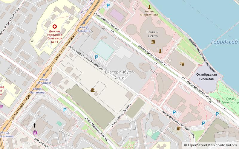
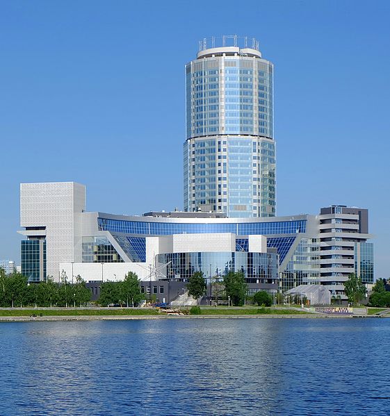
Yekaterinburg-City is a commercial district near the center of the city of Yekaterinburg, Russia. It is located on Boris Yeltsin Street on the embankment of the Iset River and is currently under development. The area occupies five hectares. ()
Address
Yekaterinburg
ContactAdd
Social media
Add
Day trips
Yekaterinburg-City – popular in the area (distance from the attraction)
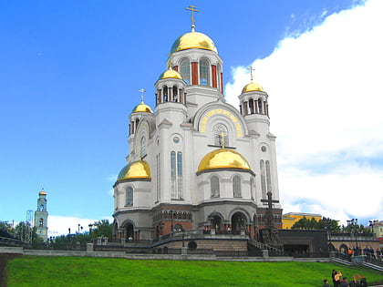
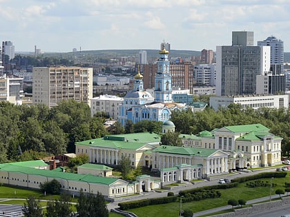
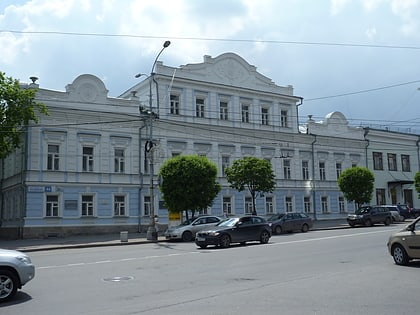
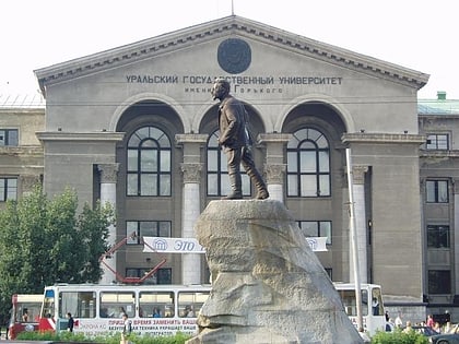
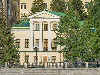
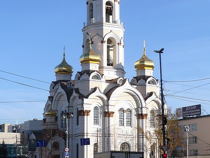
Nearby attractions include: Ekaterinburg Museum of Fine Arts, Church of All Saints, Rastorguyev-Kharitonov Palace, Boris Yeltsin Presidential Center.
Frequently Asked Questions (FAQ)
Which popular attractions are close to Yekaterinburg-City?
Nearby attractions include Iset tower, Yekaterinburg (2 min walk), Monument to Boris Yeltsin in Yekaterinburg, Yekaterinburg (4 min walk), Boris Yeltsin Presidential Center, Yekaterinburg (4 min walk), Akademiceskij teatr dramy, Yekaterinburg (5 min walk).
How to get to Yekaterinburg-City by public transport?
The nearest stations to Yekaterinburg-City:
Bus
Tram
Metro
Trolleybus
Train
Bus
- Eltsin street • Lines: 024, 045 (4 min walk)
- Drama theater • Lines: 024, 045 (11 min walk)
Tram
- Eltsin street • Lines: 21, 23, 27, 3, 32, 5, 7, А (5 min walk)
- Papanin street • Lines: 21, 23, 27, 3, 32, 5, 7, А (6 min walk)
Metro
- Dinamo • Lines: 1 (13 min walk)
- Ploshchad 1905 Goda • Lines: 1 (16 min walk)
Trolleybus
- The subway station Dinamo • Lines: 4 (15 min walk)
- Volkhonka theater • Lines: 15, 3, 7 (19 min walk)
Train
- Yekaterinburg-Passazhirsky (33 min walk)

