Sovetskoye Highway, Novosibirsk
Map
Gallery

Facts and practical information
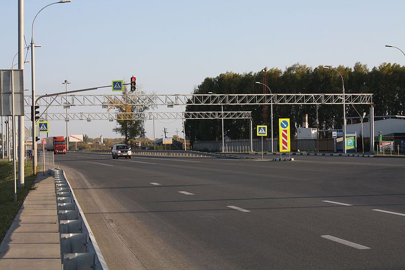
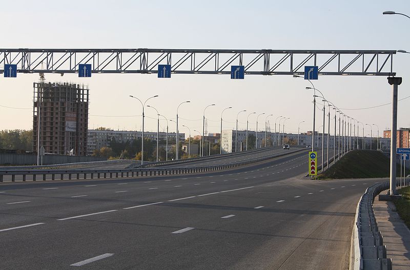
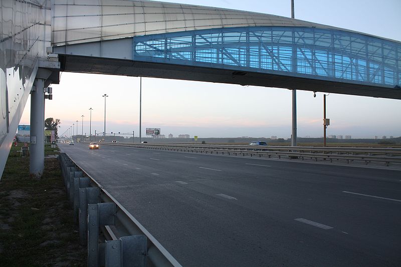
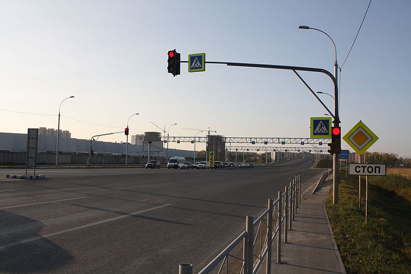
Sovetskoye Highway is a street in Novosibirsk and its suburbs. It connects the Kirovsky and Sovetsky districts of the city, Krasnoobsk and some other settlements. Its length is 9.5 km. ()
Address
Novosibirsk
ContactAdd
Social media
Add
Day trips
Sovetskoye Highway – popular in the area (distance from the attraction)
Nearby attractions include: Museum for Railway Technology Novosibirsk, Karl Marx Square Water Tower, Large Novosibirsk Planetarium, Komsomolsky Railway Bridge.
Frequently Asked Questions (FAQ)
How to get to Sovetskoye Highway by public transport?
The nearest stations to Sovetskoye Highway:
Bus
Bus
- Элитный поселок • Lines: 141, 20, 264, 364 (2 min walk)
- Молодёжная • Lines: 20, 264, 364 (9 min walk)


