Yekaterinburg fortress, Yekaterinburg
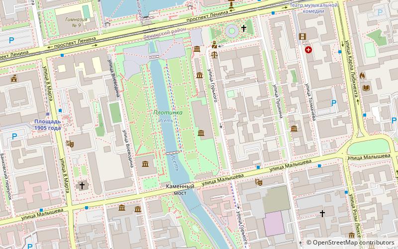
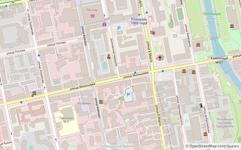
Map
Facts and practical information
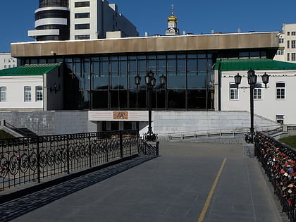
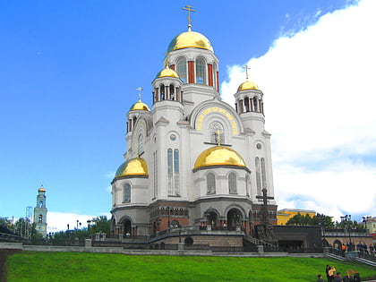
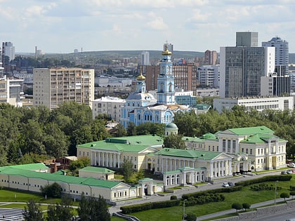
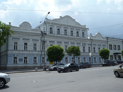
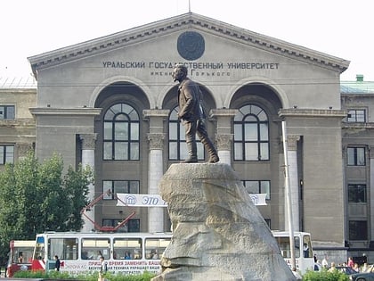
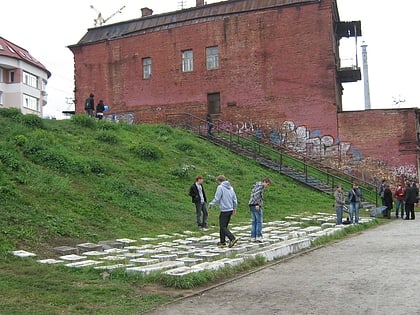
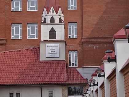
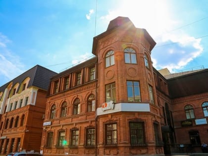
Yekaterinburg fortress, romanized in English as Ekaterinburg fortress, was a historic fortress located in modern day Yekaterinburg, Russia. Built during the early 18th century, the fortress served as a defensive fortification in the early history of Yekaterinburg before gradually being dismantled. ()
Address
Yekaterinburg
ContactAdd
Social media
Add
Day trips
Yekaterinburg fortress – popular in the area (distance from the attraction)
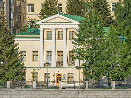
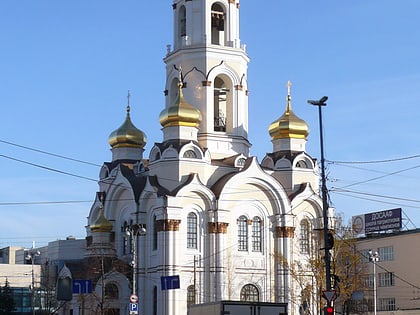
Nearby attractions include: Ekaterinburg Museum of Fine Arts, Church of All Saints, Rastorguyev-Kharitonov Palace, Sverdlovsk Regional Museum of Local Lore.
Frequently Asked Questions (FAQ)
Which popular attractions are close to Yekaterinburg fortress?
Nearby attractions include Ekaterinburg Museum of Fine Arts, Yekaterinburg (3 min walk), Pamatnik V.N. Tatisevu i de Genninu, Yekaterinburg (4 min walk), The Beatles, Yekaterinburg (5 min walk), Sverdlovsk Regional Museum of Local Lore, Yekaterinburg (5 min walk).
How to get to Yekaterinburg fortress by public transport?
The nearest stations to Yekaterinburg fortress:
Bus
Trolleybus
Metro
Tram
Train
Bus
- Горького • Lines: 070, 13, 13а, 14, 19, 2, 20, 25 (4 min walk)
- Central'naya hotel • Lines: 056, 070, 14, 2, 24, 25, 61 (6 min walk)
Trolleybus
- Горького • Lines: 15, 3, 7 (4 min walk)
- Central'naya hotel • Lines: 3, 7 (6 min walk)
Metro
- Ploshchad 1905 Goda • Lines: 1 (7 min walk)
- Geologicheskaya • Lines: 1 (17 min walk)
Tram
- The theater of musical comedy • Lines: 13, 15, 18, 2, 26, 27, 6, А (7 min walk)
- Square of 1905 year • Lines: 13, 15, 18, 2, 26, 27, 6, А (10 min walk)
Train
- Pervomayskaya (29 min walk)
