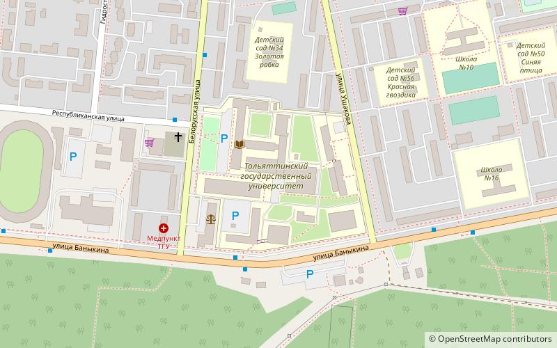
Avtozavodsky City District, Tolyatti
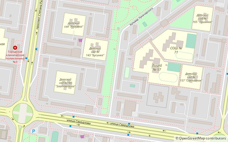
Map
Facts and practical information
Avtozavodsky City District is one of the three districts of the city of Tolyatti, Russia. Population: 442,007 ; 429,262 ; 369,407 . ()
Address
Tolyatti
ContactAdd
Social media
Add
Day trips
Avtozavodsky City District – popular in the area (distance from the attraction)
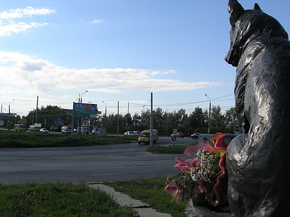
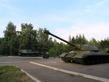
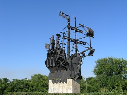
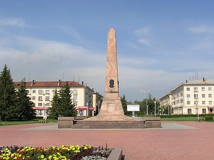
Nearby attractions include: Transfiguration Cathedral, Tatishchev Monument, Loyalty, Victory Park.
Frequently Asked Questions (FAQ)
How to get to Avtozavodsky City District by public transport?
The nearest stations to Avtozavodsky City District:
Bus
Trolleybus
Bus
- Детская больница • Lines: 303 (21 min walk)
- Бульвар Здоровья • Lines: 303 (22 min walk)
Trolleybus
- Детская больница • Lines: 13, 14 (21 min walk)
- Бульвар Здоровья • Lines: 13, 14 (22 min walk)
