Gazetny Lane, Rostov-on-Don
Map
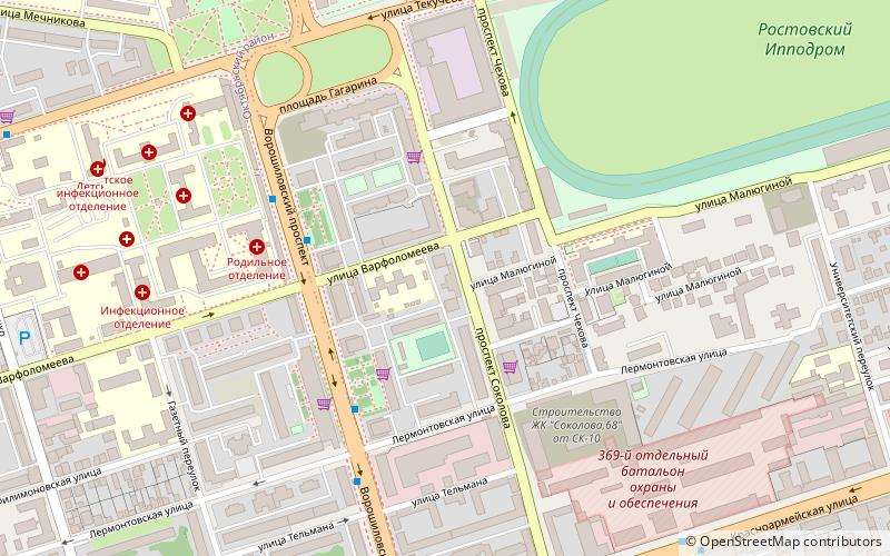
Map

Facts and practical information
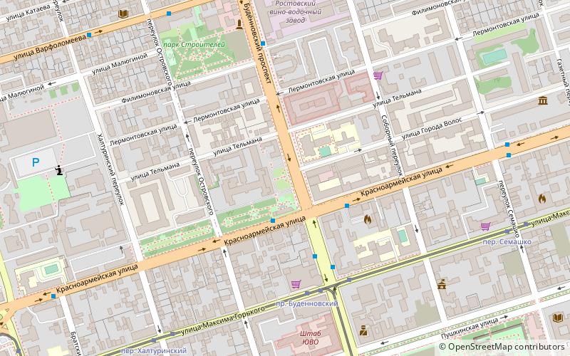
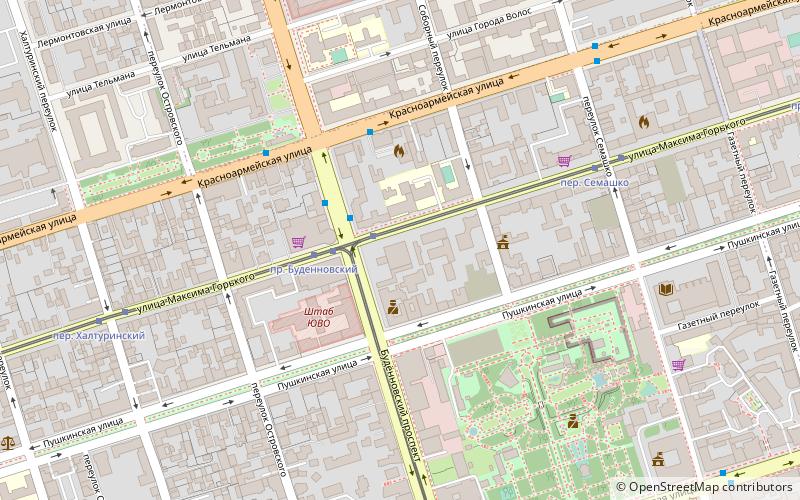
Gazetny Lane is a lane directed from the south to the north in the center of Rostov-on-Don, Russia. It measures 2,1 km long, belongs to Oktyabrsky and Leninsky Districts and before the October Revolution was known as Kazansky Lane. During the NEP it became established as a red-light district. ()
Address
Rostov-on-Don
ContactAdd
Social media
Add
Day trips
Gazetny Lane – popular in the area (distance from the attraction)
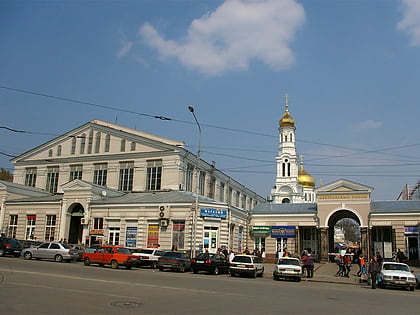
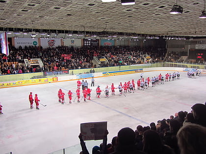
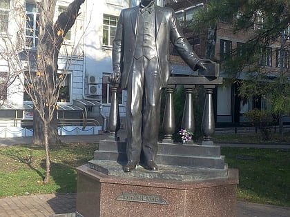
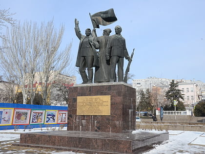
Nearby attractions include: Central Market, Rostov-on-Don Palace of Sports, Chekhov Monument in Rostov-on-Don, Monument of the Great October Revolution.
Frequently Asked Questions (FAQ)
Which popular attractions are close to Gazetny Lane?
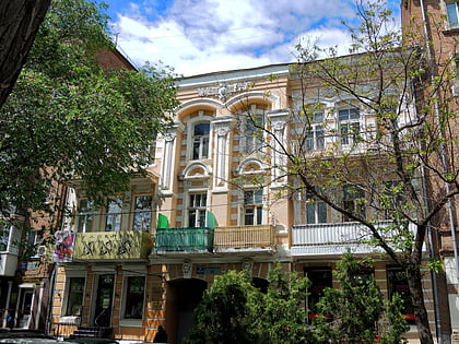
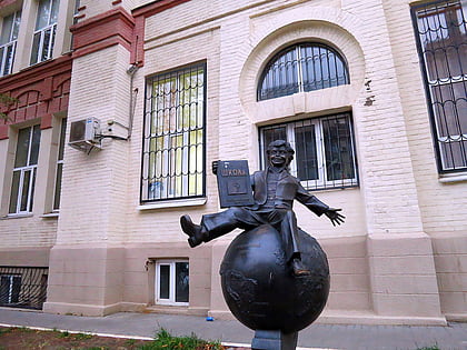
Nearby attractions include Theater Square fountain, Rostov-on-Don (1 min walk), Ascension Church, Rostov-on-Don (11 min walk), School No. 49, Rostov-on-Don (13 min walk), Profitable house of I. M. Trofimenko, Rostov-on-Don (14 min walk).
How to get to Gazetny Lane by public transport?
The nearest stations to Gazetny Lane:
Bus
Tram
Trolleybus
Train
Bus
- Цгб • Lines: 65 (4 min walk)
- ул. Лермонтовская • Lines: 65 (5 min walk)
Tram
- пр. Ворошиловский • Lines: 10, 6 (11 min walk)
- пр. Чехова • Lines: 10, 6 (11 min walk)
Trolleybus
- ул. Малюгиной • Lines: 14 (18 min walk)
- ул. Текучёва • Lines: 14 (19 min walk)
Train
- Проспект Октября (21 min walk)
- Микояна (25 min walk)

