Kuznetsk Basin, Kemerovo

Map
Facts and practical information
The Kuznetsk Basin in southwestern Siberia, Russia, is one of the largest coal mining areas in Russia, covering an area of around 10,000 square miles. It lies in the Kuznetsk Depression between Tomsk and Novokuznetsk in the basin of the Tom River. From the south it borders the Abakan Range, from the west Salair Ridge, and Kuznetsk Alatau from the east. ()
Address
Kemerovo
ContactAdd
Social media
Add
Day trips
Kuznetsk Basin – popular in the area (distance from the attraction)
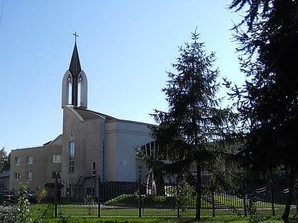
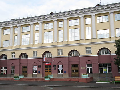
Nearby attractions include: Khimik Stadium, Immaculate Heart of Mary Church, Kuzbass State Technical University, Muzykalnyj teatr Kuzbassa im. A. Bobrova.
Frequently Asked Questions (FAQ)
Which popular attractions are close to Kuznetsk Basin?
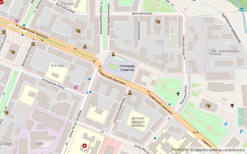
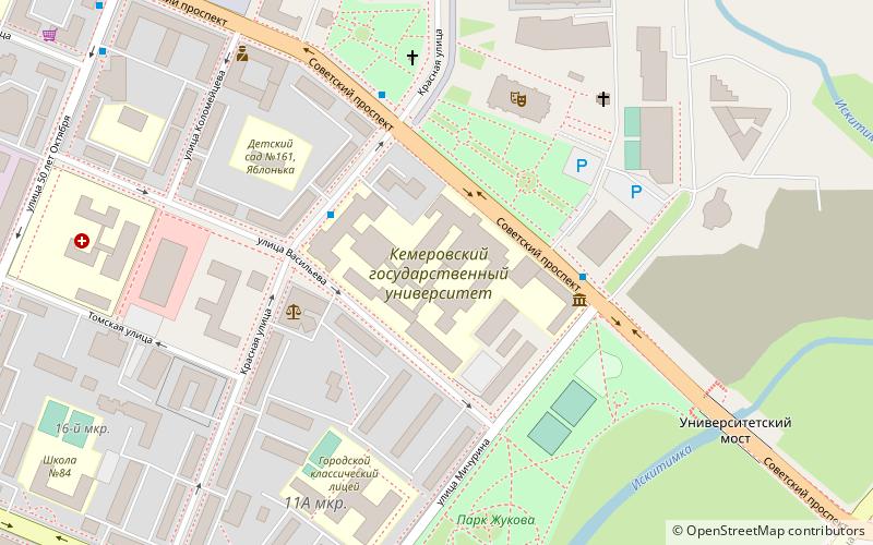
Nearby attractions include Muzykalnyj teatr Kuzbassa im. A. Bobrova, Kemerovo (5 min walk), Kemerovo State University, Kemerovo (7 min walk), Kuzbass State Technical University, Kemerovo (15 min walk), Immaculate Heart of Mary Church, Kemerovo (18 min walk).


