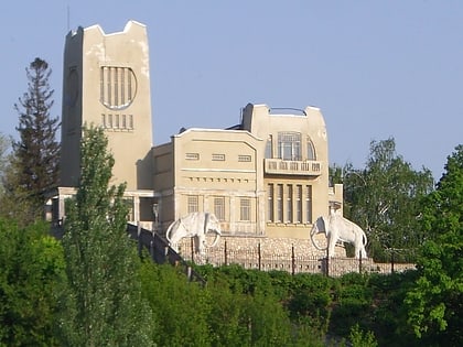
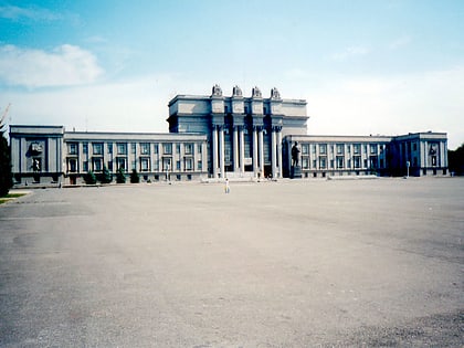
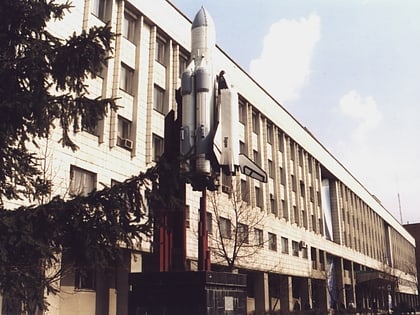
Sovetsky City District, Samara
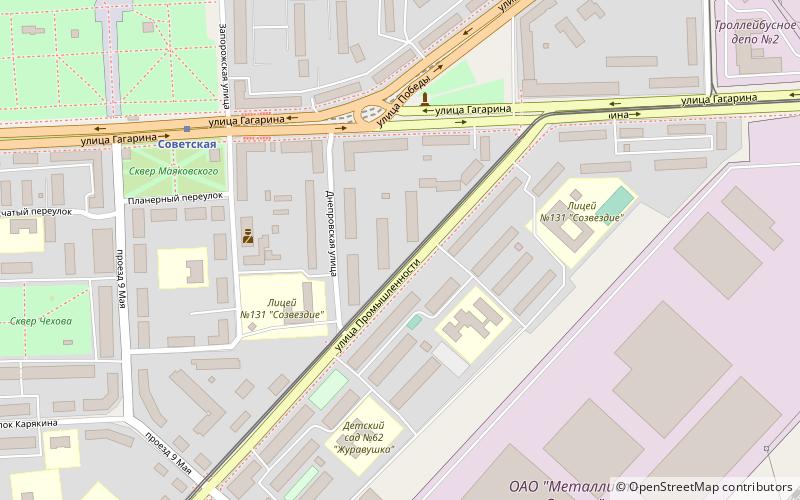
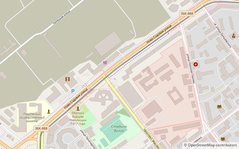
Map
Facts and practical information
Address
Куйбышев район (Kujbysev rajon)Samara
ContactAdd
Social media
Add
Day trips
Sovetsky City District – popular in the area (distance from the attraction)
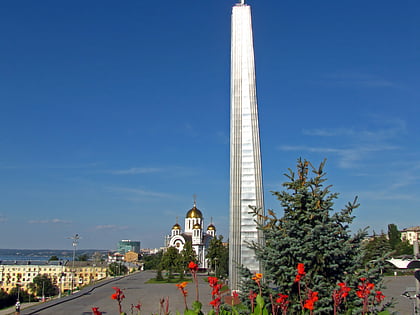
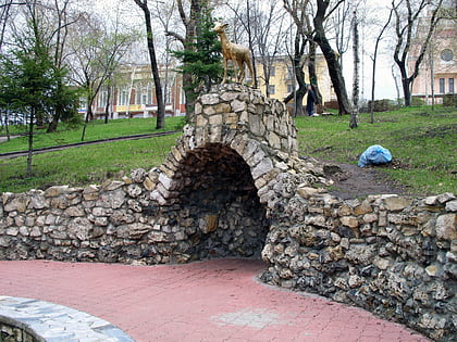
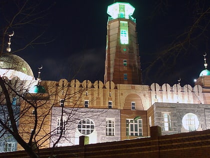
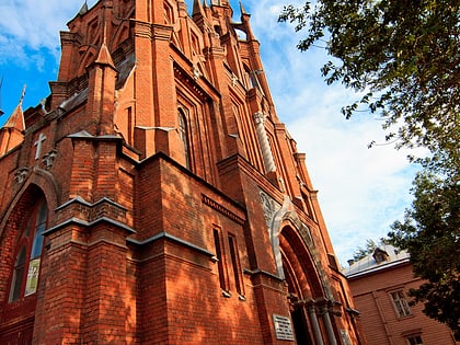
Nearby attractions include: Monument of Glory, Strukovsky Garden, Samara Mosque, Sacred Heart Church.
Frequently Asked Questions (FAQ)
How to get to Sovetsky City District by public transport?
The nearest stations to Sovetsky City District:
Tram
Metro
Train
Tram
- улица Юрия Гагарина • Lines: 19 (7 min walk)
- Проезд 9-го Мая • Lines: 19 (7 min walk)
Metro
- Sovetskaya • Lines: 1 (6 min walk)
- Pobeda • Lines: 1 (17 min walk)
Train
- Stahanovskaya (14 min walk)
- Kirkombinat (28 min walk)
