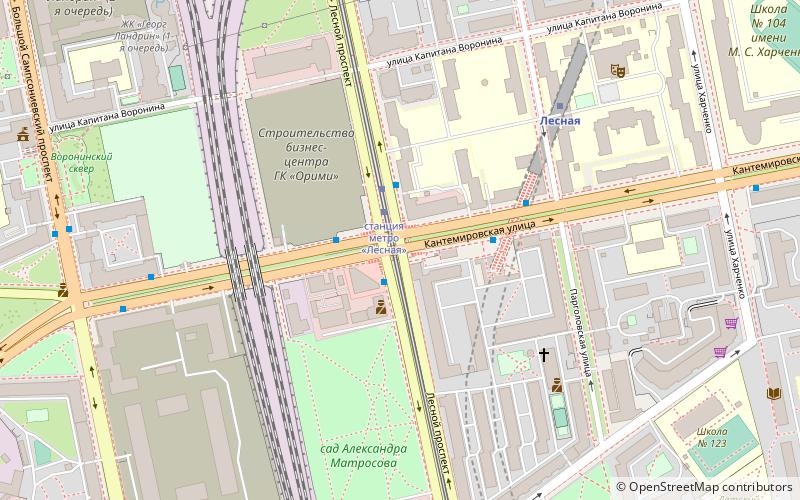
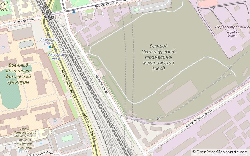
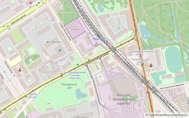
Four bridges on three lines, Saint Petersburg
Map
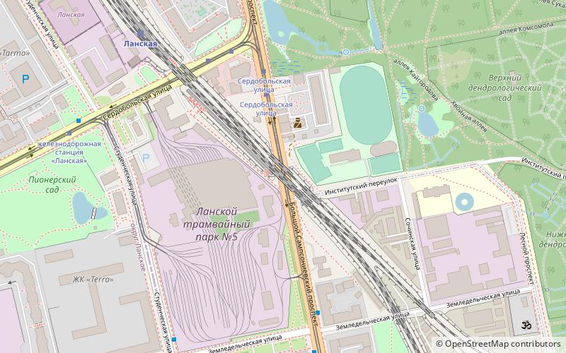
Map

Facts and practical information
Four bridges on three lines is a сrossing by two railroad lines of two streets in St. Petersburg, Russia. ()
Coordinates: 59°59'34"N, 30°19'55"E
Address
Выборгский район (Сампсониевское)Saint Petersburg
ContactAdd
Social media
Add
Day trips
Four bridges on three lines – popular in the area (distance from the attraction)
Nearby attractions include: Kantemirovsky Bridge, Ushakovsky Bridge, Kamennoostrovsky Bridge, Kamenny Island Palace.
Frequently Asked Questions (FAQ)
Which popular attractions are close to Four bridges on three lines?
Nearby attractions include Lansky station overpass, Saint Petersburg (5 min walk), Saint-Petersburg State Forestry University, Saint Petersburg (11 min walk), Kantemirovskaya Street, Saint Petersburg (17 min walk).
How to get to Four bridges on three lines by public transport?
The nearest stations to Four bridges on three lines:
Bus
Tram
Train
Trolleybus
Metro
Bus
- Сердобольская улица • Lines: 86 (3 min walk)
- Земледельческая улица • Lines: 86 (5 min walk)
Tram
- Сердобольская улица • Lines: 20, 48 (3 min walk)
- Большой Сампсониевский проспект • Lines: 21, 40 (4 min walk)
Train
- Lanskaya (6 min walk)
- Кушелевка (21 min walk)
Trolleybus
- проспект Энгельса • Lines: 34, 6 (9 min walk)
- Новороссийская улица, 18 • Lines: 34, 6 (10 min walk)
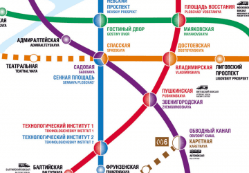
Metro
- Лесная • Lines: 1 (17 min walk)
- Чёрная речка • Lines: 2 (29 min walk)

 Metro
Metro


