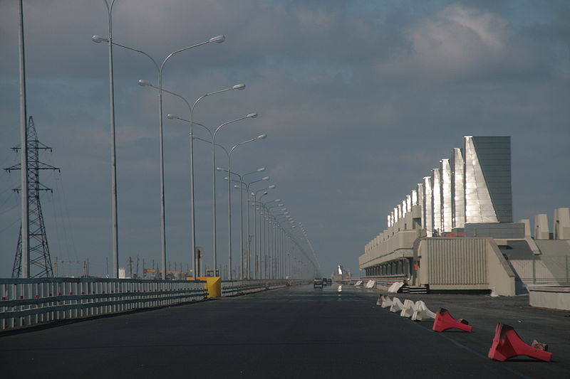
Saint Petersburg Dam, Saint Petersburg
Map

Gallery

Facts and practical information
The Saint Petersburg Flood Prevention Facility Complex, unofficially the Saint Petersburg Dam, is a 25 km long complex of dams for flood control near Saint Petersburg, Russia. The dam extends from Lomonosov northward to Kotlin Island, then turns east toward Cape Lisiy Nos near Sestroretsk. ()
Local name: Комплекс защитных сооружений Санкт-Петербурга от наводнений Coordinates: 60°0'23"N, 29°44'54"E
Address
Saint Petersburg
ContactAdd
Social media
Add
Day trips
Saint Petersburg Dam – popular in the area (distance from the attraction)
Nearby attractions include: Kronstadt Naval Cathedral, Kronstadt Naval Museum, Fort Alexander, Kronstadt.
Frequently Asked Questions (FAQ)
Which popular attractions are close to Saint Petersburg Dam?
Nearby attractions include Kotlin Island, Saint Petersburg (12 min walk), Kronstadt Naval Museum, Saint Petersburg (23 min walk).
How to get to Saint Petersburg Dam by public transport?
The nearest stations to Saint Petersburg Dam:
Bus
Bus
- Улица Адмирала Грейга • Lines: 101, 175, 215, 2Кр, 2Л, 3Кр (6 min walk)
- 16-й квартал • Lines: 101, 175, 215, 2Кр, 2Л, 3Кр (10 min walk)

 Metro
Metro


