Shumshu
Map

Map

Facts and practical information
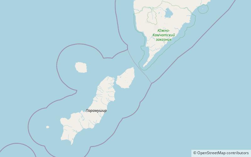
Shumshu is the second-northernmost island of the Kuril Islands chain, which divides the Sea of Okhotsk from the northwest Pacific Ocean. The name of the island is derived from the Ainu language, meaning "good island". It is separated from Paramushir by the very narrow Second Kuril Strait in the northeast 2.5 kilometres, and its northern tip is 11 kilometres, from Cape Lopatka at the southern tip of the Kamchatka Peninsula. The island has a seasonal population of around 100 inhabitants. ()
Local name: Шумшу Area: 149.81 mi²Maximum elevation: 561 ftArchipelago: Kuril IslandCoordinates: 50°44'23"N, 156°20'53"E
Location
Sakhalin
ContactAdd
Social media
Add
