Diana's Peak

Gallery (1)
Map
Map
Facts and practical information
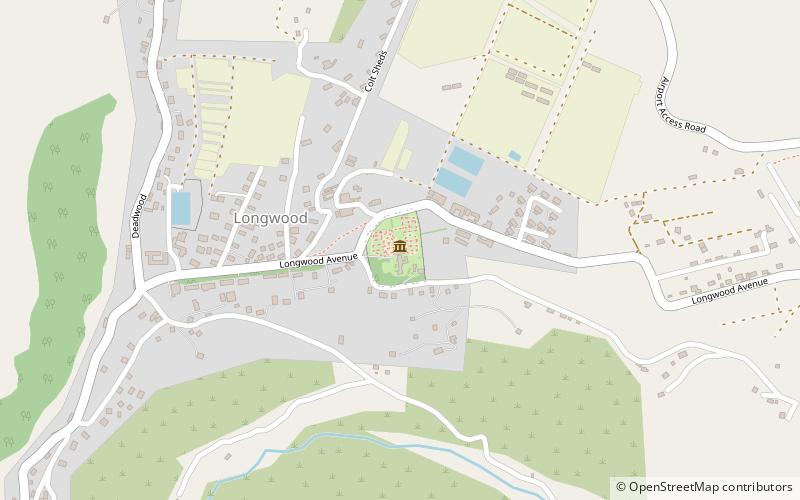
Diana's Peak is the highest point, at 818 metres, on the island of Saint Helena, a British overseas territory in the South Atlantic Ocean. It is of volcanic origin. The mountain and its surroundings with a total area of 81 ha were proclaimed a national park in March 1996, the first on the island. It is a preserve of several endangered endemic species, including tree fern, he cabbage and black cabbage trees, and whitewood. The park contains walking paths connecting the peaks - Mt. Actaeon, Diana's Peak and Cuckold's Point. The two shorter peaks are topped by large Norfolk pines. On the northern slopes there is a nursery for endemic species. ()
Location
Saint Helena
ContactAdd
Social media
Add
Day trips