Capisterre, Saint Kitts
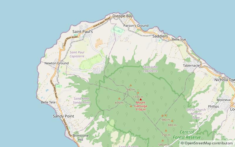
Map
Facts and practical information
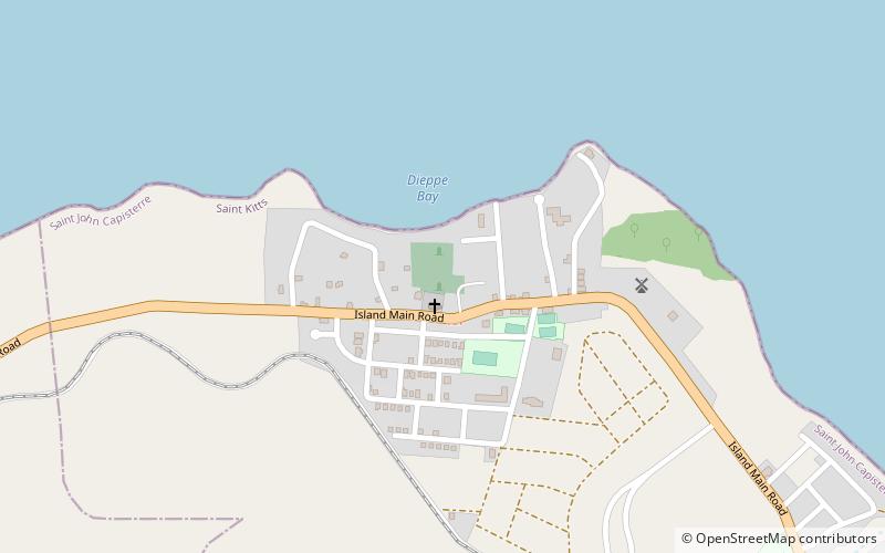
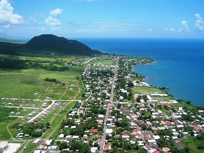
Capisterre is a region covering the Northern Coastal plain on the Island of Saint Kitts. It was originally colonized by the French in the early 17th century, with its capital on the only harbour, in the fishing town of Dieppe. The area was lost to the British in 1713. Significant numbers of French immigrants from the neighbouring island of Saint Barths came to Capisterre in the early 20th century, and became infamous for their illegal moonshine trade. ()
Coordinates: 17°22'60"N, 62°48'60"W
Address
Saint Kitts
ContactAdd
Social media
Add
Day trips
Capisterre – popular in the area (distance from the attraction)
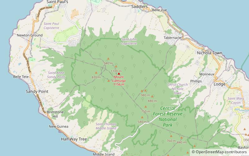
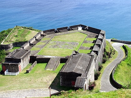
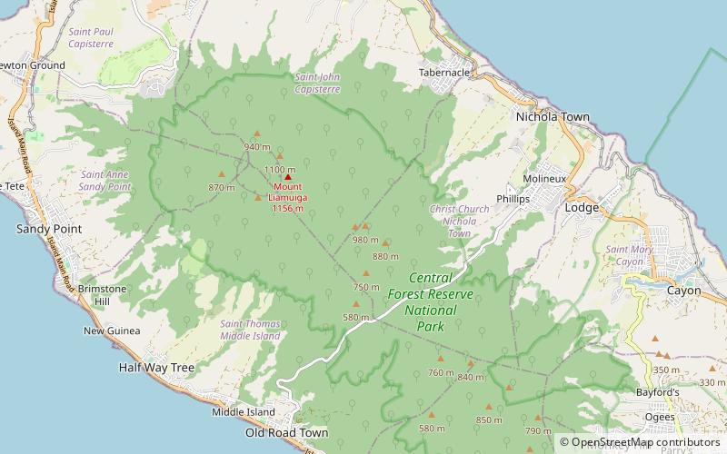
Nearby attractions include: Dieppe Bay Town, Mount Liamuiga, Brimstone Hill Fortress National Park, Verchild's Peak.
