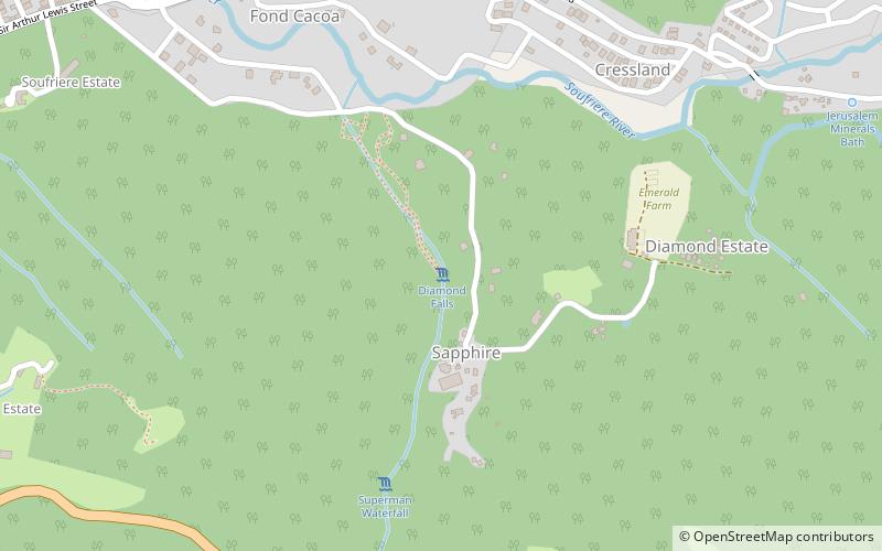
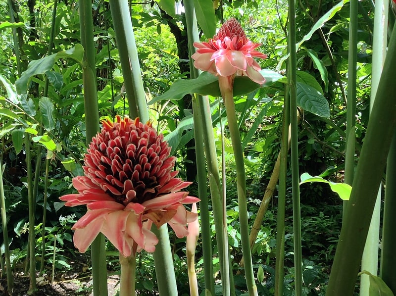
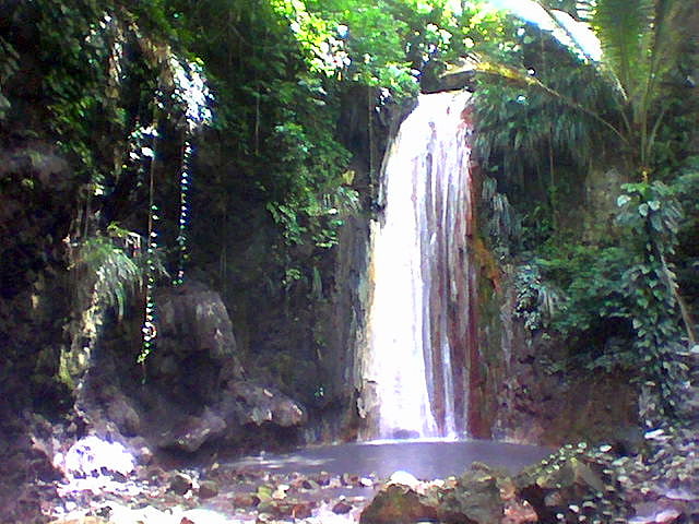
Diamond Falls, Soufriere
Map
Facts and practical information
Diamond Falls is a place located in Soufriere (Soufrière quarter) and belongs to the category of nature, natural attraction, waterfall.
It is situated at an altitude of 312 feet, and its geographical coordinates are 13°51'0"N latitude and 61°2'52"W longitude.
Among other places and attractions worth visiting in the area are: St. Lucia Botanical Gardens (waterfall, 6 min walk), Soufrière Estate (neighbourhood, 14 min walk), Coubaril (adventure park, 17 min walk).
Coordinates: 13°51'0"N, 61°2'52"W
Address
Soufriere
ContactAdd
Social media
Add
Day trips


Frequently Asked Questions (FAQ)
Which popular attractions are close to Diamond Falls?
Nearby attractions include St. Lucia Botanical Gardens, Soufriere (6 min walk), Soufrière Estate, Soufriere (14 min walk), Coubaril, Soufriere (17 min walk), Toraille Falls, Soufriere (21 min walk).