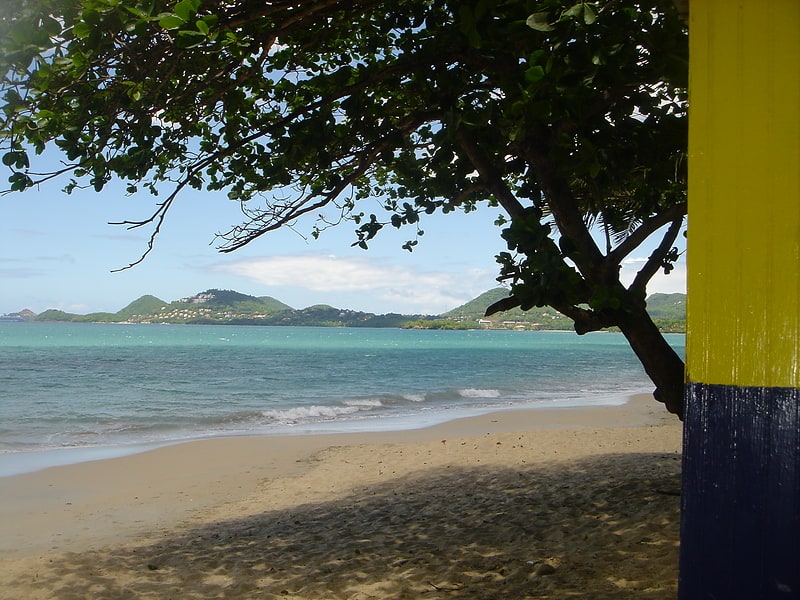
Vigie Beach, Castries
Gallery (1)
Map
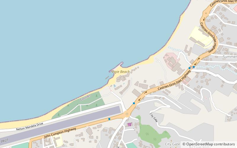
Map
Facts and practical information
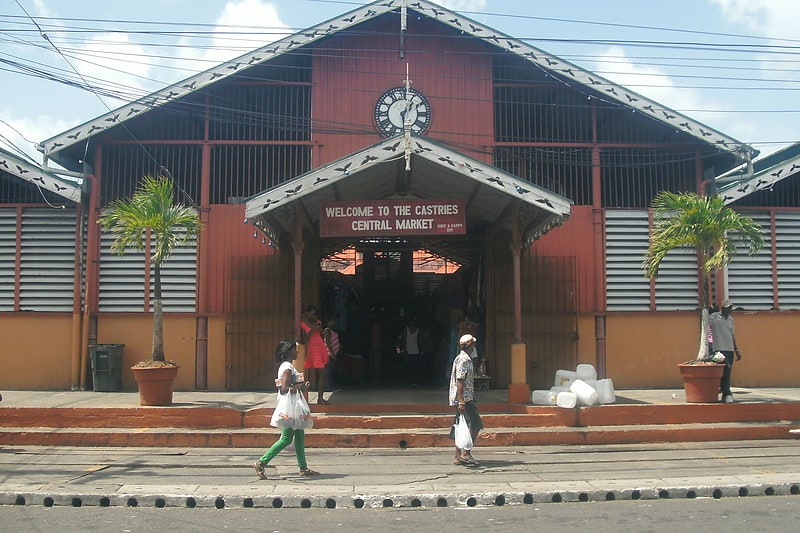
Vigie Beach is located 2 km north of Castries District, Saint Lucia, running parallel and immediately adjacent to the George F. L. Charles Airport. ()
Address
Castries
ContactAdd
Social media
Add
Day trips