Manono Island

Gallery (4)
Map

Map
Gallery
Facts and practical information
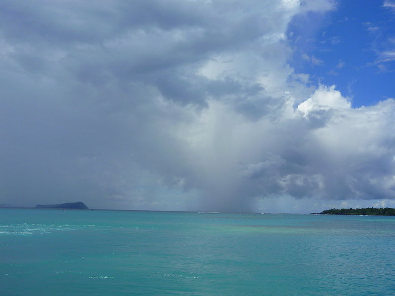
Manono is an island of Samoa, situated in the Apolima Strait between the main islands of Savai'i and Upolu, 3.4 km west-northwest off Lefatu Cape, the westernmost point of Upolu. ()
Location
Aiga-i-le-Tai
ContactAdd
Social media
Add
Day trips

