Matatufu, Upolu

Gallery (1)
Map
Map
Facts and practical information
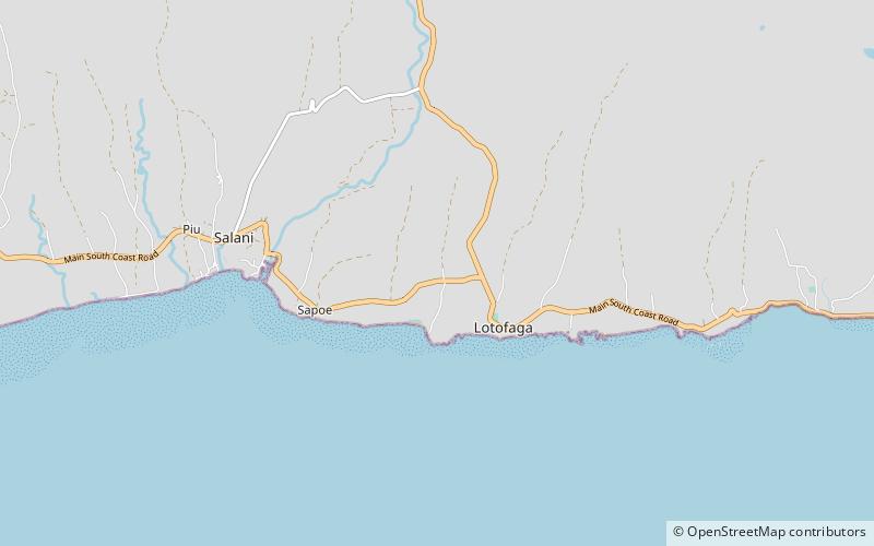
Matatufu is a small village on south east end of Upolu island in Samoa. The village is part of Lotofaga Electoral Constituency which is within the larger political district of Atua. ()
Coordinates: 14°2'6"S, 171°34'59"W
Address
Upolu
ContactAdd
Social media
Add
Day trips