Mina, Mecca
Map

Map

Facts and practical information
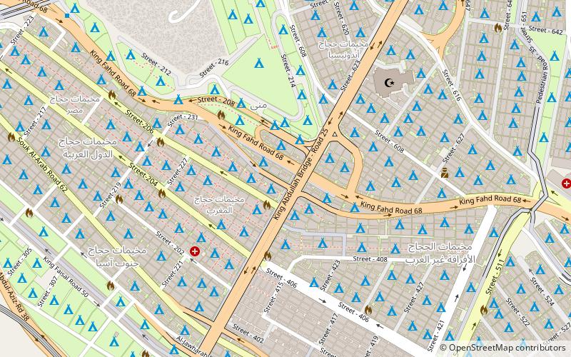
Mina, also transliterated as Muna, and commonly known as the "City of Tents" is a valley and neighborhood located in the Masha'er district in the Makkah Province of Saudi Arabia, 8 kilometres southeast of the city of Mecca, covering an area of approximately 20 km2. Mina incorporates the tents, the Jamarat area, and the slaughterhouses just outside the tent city. ()
Address
Mecca
ContactAdd
Social media
Add
Day trips
Mina – popular in the area (distance from the attraction)
Nearby attractions include: Black Stone, Hira, Great Mosque of Mecca, Jabal al-Nour.
Frequently Asked Questions (FAQ)
How to get to Mina by public transport?
The nearest stations to Mina:
Metro
Metro
- Mina Station 2 • Lines: S (16 min walk)


