Al Khalidiyyah, Najran

Map
Facts and practical information
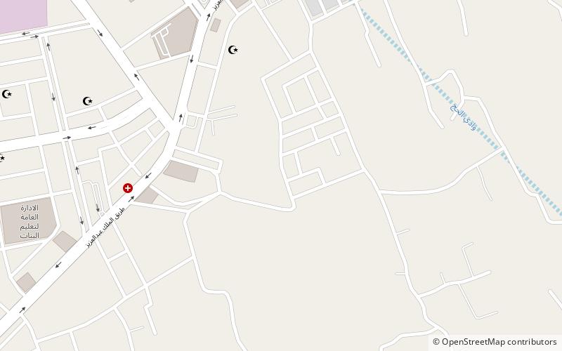
Al-Khalidiyyah is a subject of Baladiyah al-Batha and a residential neighborhood south of Sinaiyah Qadeem and west of al-Faisaliyyah that emerged between the 1950s and 1970s in southern Riyadh, Saudi Arabia. It is inhabited mostly by overseas Indian, Pakistani, Bangladeshi and Yemeni migrant workers and their families. ()
Coordinates: 17°31'60"N, 44°13'0"E
Address
Najran
ContactAdd
Social media
Add
Day trips
Al Khalidiyyah – popular in the area (distance from the attraction)
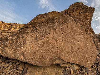
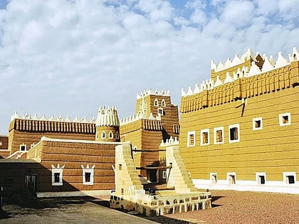
Nearby attractions include: Bir Hima Rock Petroglyphs and Inscriptions, Wadi Najran, Qasr Aba as Suud.


