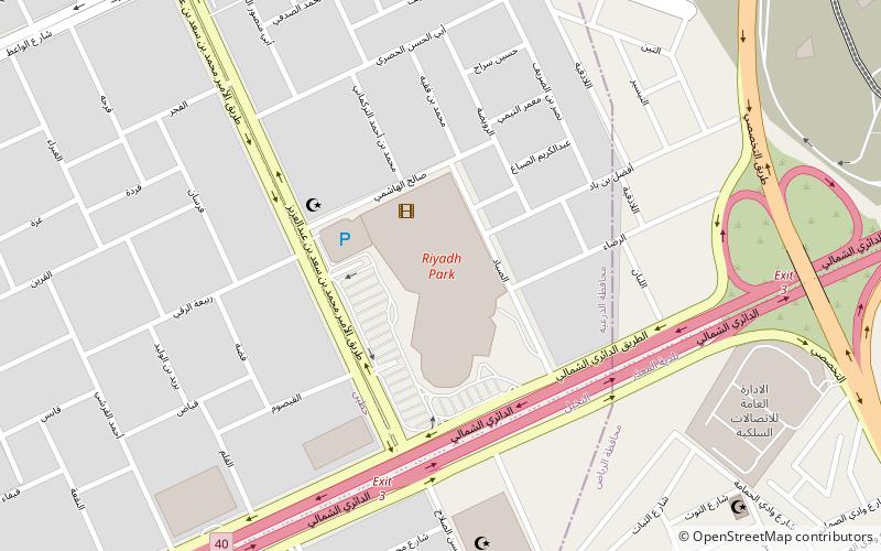
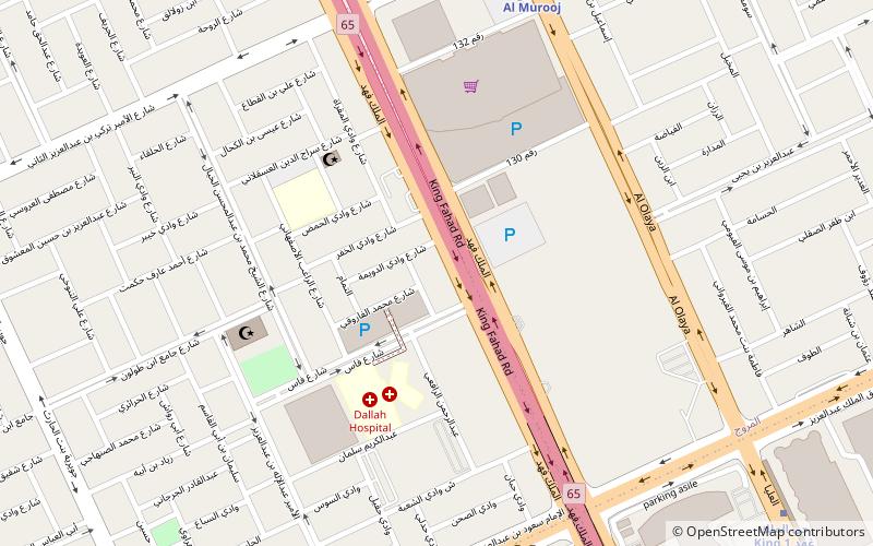
Riyadh Park, Riyadh
Facts and practical information
Riyadh Park: A Modern Oasis of Shopping and Entertainment in Saudi Arabia's Capital
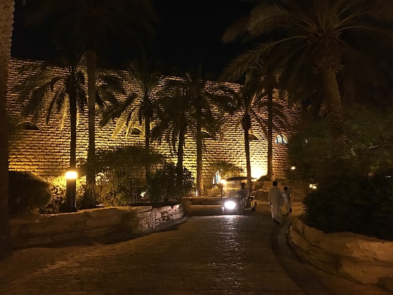
Riyadh Park is a contemporary haven for shoppers and leisure seekers nestled in the heart of Saudi Arabia's bustling capital city, Riyadh. This expansive shopping mall seamlessly blends luxury with convenience, offering a sophisticated retail experience that caters to the diverse needs of its visitors.
Encapsulating elegance in its architectural design, Riyadh Park is more than just a shopping destination; it's a lifestyle hub where families, friends, and individuals can indulge in a wide array of activities. From high-end boutiques to international retail chains, the mall houses an impressive selection of stores that cater to fashion aficionados, tech enthusiasts, and everyone in between.
As visitors meander through the spacious corridors, they are met with an array of dining options. The food court and various restaurants serve up a smorgasbord of cuisines, reflecting the cosmopolitan nature of Riyadh. Whether craving authentic local dishes or international flavors, Riyadh Park's culinary offerings are sure to satisfy any palate.
Entertainment is at the forefront of Riyadh Park's allure, with a state-of-the-art cinema complex that features the latest blockbusters in a plush setting. Families with children will delight in the designated play areas where kids can engage in fun and safe activities while adults take a respite from shopping.
Riyadh Park is not just a commercial center; it is a social space where the community can come together in a comfortable and secure environment. The mall's modern facilities, combined with its commitment to providing an exceptional visitor experience, make it a standout landmark in Riyadh's urban landscape.
Northern Ring Branch Roadالشمال (العقيق)Riyadh
- Metro
 Metro
Metro
- Calculate routeKing Abdullah Financial District 29 min walk


Frequently Asked Questions (FAQ)
How to get to Riyadh Park by public transport?
Metro
- King Abdullah Financial District • Lines: 4 (29 min walk)