Mbour Travel Guide
Facts and practical information
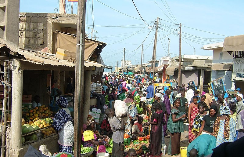
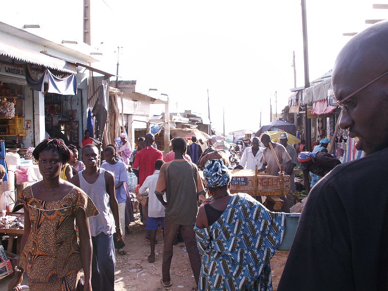
Mbour, located in the Thiès region of Senegal, is a coastal city known for its beautiful beaches, vibrant culture, and rich history. This bustling city is a popular tourist destination, offering a perfect blend of relaxation and exploration for travelers.
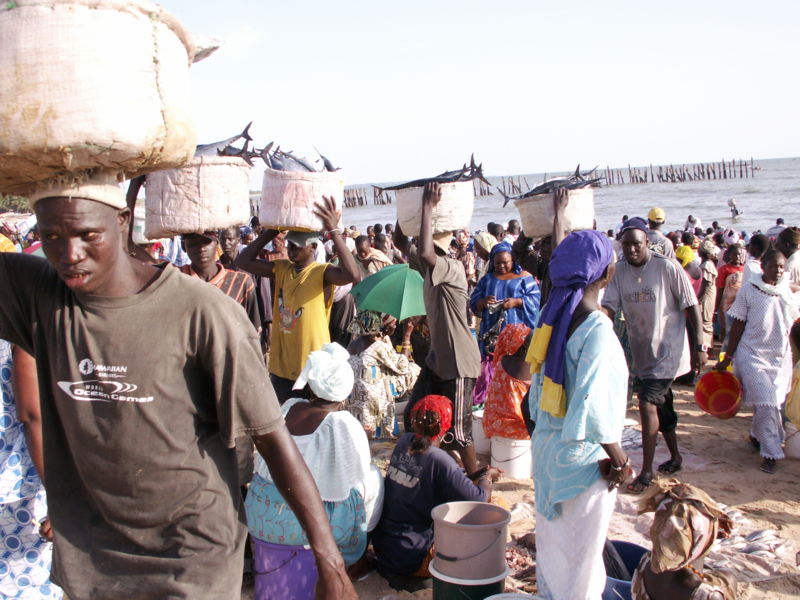
One of the main attractions in Mbour is the vibrant fish market, where visitors can witness the local fishermen bringing in their catch of the day and experience the lively atmosphere of the market. The colorful boats and bustling activity create a unique and authentic Senegalese experience.
For those seeking relaxation, Mbour's pristine beaches provide the perfect setting for sunbathing, swimming, and water sports. The warm waters of the Atlantic Ocean offer a refreshing escape from the city's hustle and bustle, and the soft sand is ideal for long leisurely walks along the shore.
History enthusiasts will appreciate the opportunity to explore the nearby Bandia Nature Reserve, home to a variety of wildlife including giraffes, rhinos, and antelopes. Guided tours of the reserve offer a chance to learn about the local flora and fauna and observe these magnificent animals in their natural habitat.
In addition to its natural beauty and historical sites, Mbour is also known for its vibrant nightlife and delicious cuisine. Visitors can indulge in traditional Senegalese dishes at local restaurants, and then dance the night away to the sounds of live music and energetic dance performances.
Thiès
Best Time To Visit Mbour
Learn when is the best time to travel to Mbour weather-wise and what to expect in each season.