Pupin Bridge, Belgrade
Map
Map

Facts and practical information
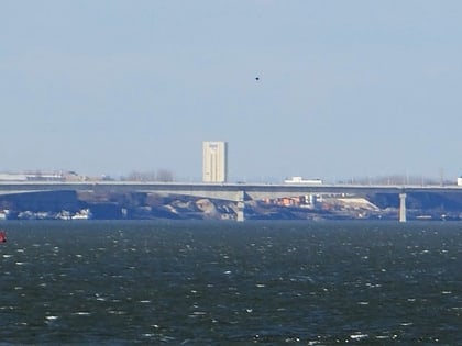
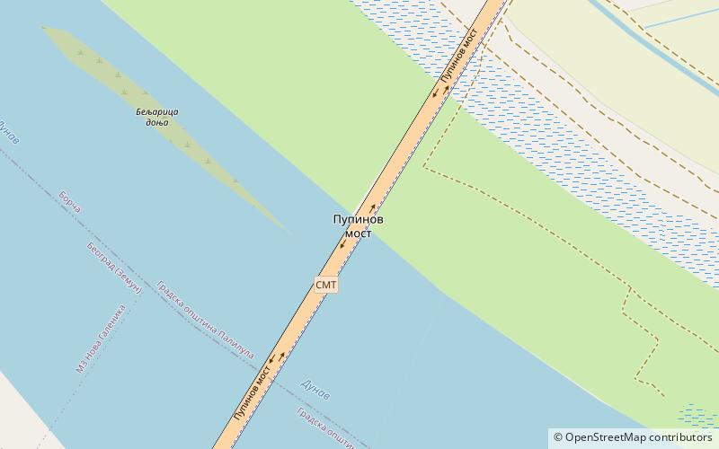
The Pupin Bridge is a road bridge over the Danube River in Belgrade, Serbia. The bridge is located upstream of the city center and connects Belgrade neighbourhoods of Zemun and Borča. It is part of Semi-Inner Ring circle. Opened in December 2014, it became the second bridge over the Danube in Belgrade, after the Pančevo Bridge in 1946. ()
Local name: Pupinov most Completed: 18 December 2014 (11 years ago)Length: 4944 ftWidth: 95 ftHeight: 75 ftCoordinates: 44°52'2"N, 20°23'0"E
Address
Belgrade
ContactAdd
Social media
Add
Day trips
Pupin Bridge – popular in the area (distance from the attraction)
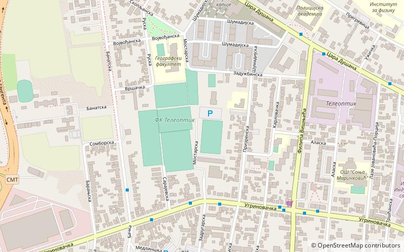
Nearby attractions include: Zemun, Galenika, Sutjeska, SC Partizan-Teleoptik.
Frequently Asked Questions (FAQ)
How to get to Pupin Bridge by public transport?
The nearest stations to Pupin Bridge:
Bus
Bus
- Земун /Горњи Град/ • Lines: 17, 703, 704, 705, 706, 706E, 707, 73, 84 (16 min walk)
- Руска • Lines: 17, 704, 705, 706, 707, 73, 84 (18 min walk)
