Nišava District, Niš

Map
Facts and practical information
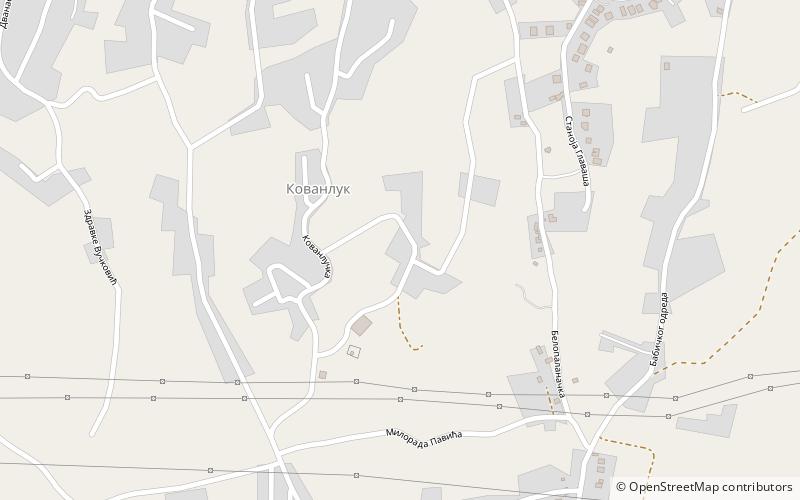
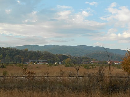
The Nišava District is one of nine administrative districts of Southern and Eastern Serbia. It expands to the south-eastern parts of Serbia. According to the 2011 census results, it has a population of 372,404 inhabitants. The administrative center of the district is the city of Niš. After South Bačka, it is second largest District in Serbia. ()
Day trips
Nišava District – popular in the area (distance from the attraction)
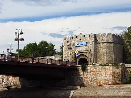
Nearby attractions include: Čair Sports Center, Skull Tower, Niš Fortress, Forum shopping mall.
Frequently Asked Questions (FAQ)
How to get to Nišava District by public transport?
The nearest stations to Nišava District:
Bus
Train
Bus
- Крагујевачка • Lines: 12 (16 min walk)
- Мокрањчева видиковац • Lines: 11 (18 min walk)
Train
- Ниш (42 min walk)


