Vrdnička kula, Fruška Gora
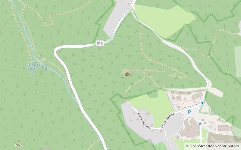
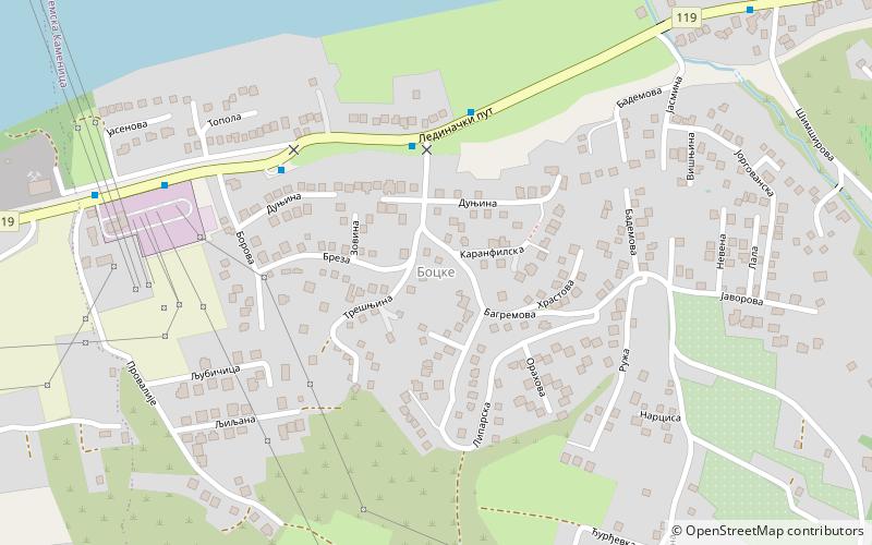
Map
Facts and practical information
Vrdnička kula is a place located in Fruška Gora (Sremski district) and belongs to the category of ruins.
It is situated at an altitude of 1214 feet, and its geographical coordinates are 45°8'38"N latitude and 19°46'30"E longitude.
Among other places and attractions worth visiting in the area are: Termal Vrdnik (amusement, 27 min walk), Vrdnik-Ravanica monastery, Vrdnik (monastery, 30 min walk), Jazak Monastery, Novi Sad (church, 46 min walk).
Coordinates: 45°8'38"N, 19°46'30"E
Address
Fruška Gora
ContactAdd
Social media
Add
Day trips