Šomrda, Đerdap National Park

Map
Facts and practical information
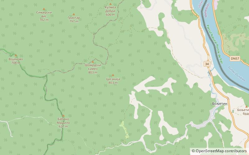
Šomrda is a mountain in eastern Serbia, near the town of Lepenski Vir. Its highest peak has an elevation of 803 meters above sea level. Most of Šomrda is located in the Đerdap National Park. ()
Elevation: 2635 ftCoordinates: 44°32'23"N, 21°58'58"E
Address
Đerdap National Park
ContactAdd
Social media
Add
Day trips
Šomrda – popular in the area (distance from the attraction)
Nearby attractions include: Boljetin, Lepenski Vir.

