South Bačka District, Novi Sad
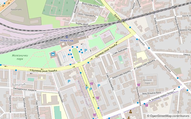
Map
Facts and practical information
The South Bačka District is one of seven administrative districts of the autonomous province of Vojvodina, Serbia. Geographically it lies in the southern part of Bačka and northern part of Syrmia. According to the 2011 census results, it has a population of 615,371 inhabitants. The administrative center of the district is the city of Novi Sad, which is also the capital and the largest city of the Autonomous Province of Vojvodina. ()
Getting there by public transportation
Public transportation stops near this location
- Bus
- Train
 Bus
Bus
- Calculate routeRailway Station - Arrivals 2 min walk
- Calculate routeBulevar Oslobodjenja - Bul. Jase Tomica 3 min walk
- Calculate routeRailway Station Terminal 3 min walk
- Calculate routeRailway Station 3 min walk
- Calculate routeНови Сад 4 min walk
Day trips


Frequently Asked Questions (FAQ)
Which popular attractions are close to South Bačka District?
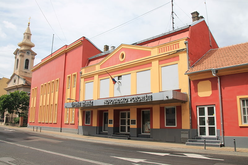
Nearby attractions include Salajka, Novi Sad (11 min walk), Rotkvarija, Novi Sad (12 min walk), Novi Sad Theatre, Novi Sad (17 min walk), Almaški Kraj, Novi Sad (19 min walk).
How to get to South Bačka District by public transport?
The nearest stations to South Bačka District:
Bus
Train
Bus
- Railway Station - Arrivals • Lines: 20, 3a, 4, 5н (2 min walk)
- Bulevar Oslobodjenja - Bul. Jase Tomica • Lines: 7а (3 min walk)
Train
- Нови Сад (4 min walk)