Western Balkans, Belgrade
Facts and practical information
Yugoslavia was a country in Southeast Europe and Central Europe for most of the 20th century. It came into existence after World War I in 1918 under the name of the Kingdom of Serbs, Croats and Slovenes by the merger of the provisional State of Slovenes, Croats and Serbs with the Kingdom of Serbia, and constituted the first union of the South Slavic people as a sovereign state, following centuries in which the region had been part of the Ottoman Empire and Austria-Hungary. Peter I of Serbia was its first sovereign. The kingdom gained international recognition on 13 July 1922 at the Conference of Ambassadors in Paris. The official name of the state was changed to Kingdom of Yugoslavia on 3 October 1929. ()
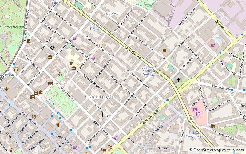
Stari GradBelgrade
- Bus
- Trolleybus
- Tram
- Train
 Bus
Bus
- Calculate routeDorcol /Kneginje Ljubice/ 3 min walk
- Calculate routeDusanova 5 min walk
- Calculate routeKralja Petra 6 min walk
- Calculate routeСтудентски Трг 7 min walk
- Calculate routeDorcol /Kneginje Ljubice/ 3 min walk
- Calculate routeKralja Petra 6 min walk
- Calculate routeПијаца Скадарлија 8 min walk
- Calculate routeБраће Барух 10 min walk
- Calculate routeСтудентски Трг 7 min walk
- Calculate routeТрг Републике 7 min walk
- Calculate routeTrg Republike 9 min walk
- Calculate routeМакедонска 10 min walk
- Calculate routeВуков споменик 34 min walk
Western Balkans – popular in the area (distance from the attraction)
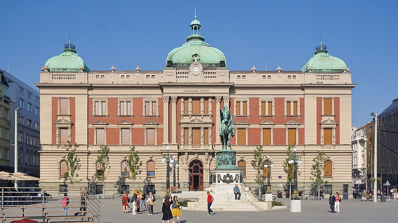
Nearby attractions include: Knez Mihailova Street, National Museum, Bajrakli Mosque, Balkan.


Frequently Asked Questions (FAQ)
Which popular attractions are close to Western Balkans?
How to get to Western Balkans by public transport?
Bus
- Dorcol /Kneginje Ljubice/ • Lines: 24, 26, 79 (3 min walk)
- Dusanova • Lines: 24, 26, 37, 44, E2 (5 min walk)
Tram
- Dorcol /Kneginje Ljubice/ • Lines: 10, 2, 5 (3 min walk)
- Kralja Petra • Lines: 10, 2, 5 (6 min walk)
Trolleybus
- Студентски Трг • Lines: 28, 29, 41 (7 min walk)
- Трг Републике • Lines: 28, 29, 41 (7 min walk)
Train
- Вуков споменик (34 min walk)