Banjsko Brdo
Map
Facts and practical information
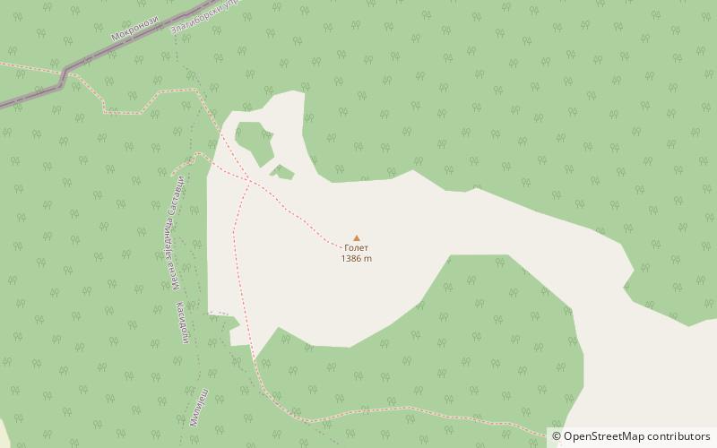
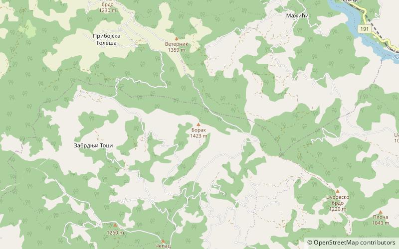
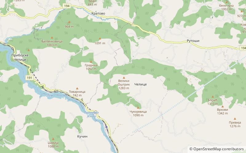
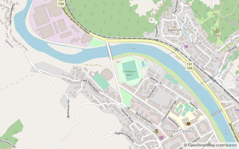
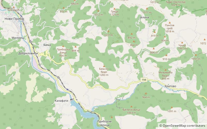
Banjsko Brdo is a mountain in southwestern Serbia, above the town of Priboj. Its highest peak has an elevation of 1,282 meters above sea level. ()
Elevation: 4206 ftCoordinates: 43°32'23"N, 19°35'51"E
Location
Zlatiborski
ContactAdd
Social media
Add
Day trips