Tupižnica
Map

Map

Facts and practical information
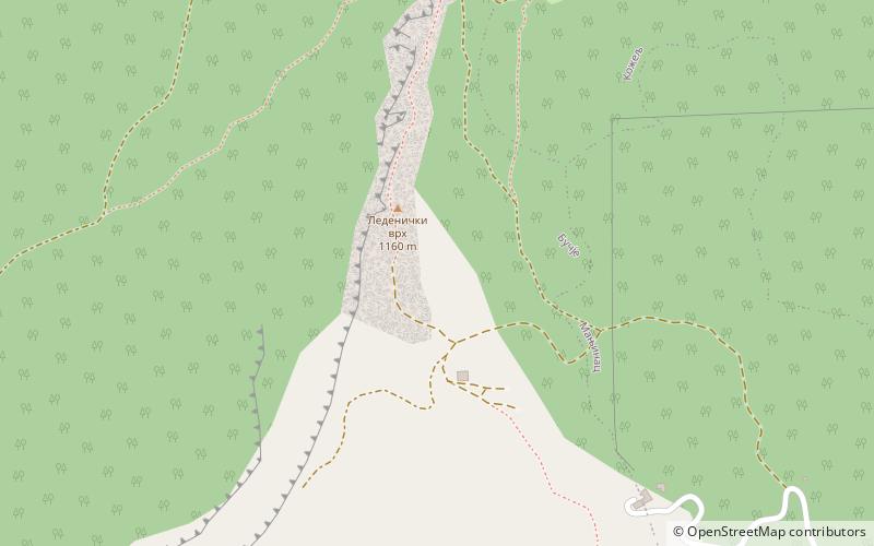
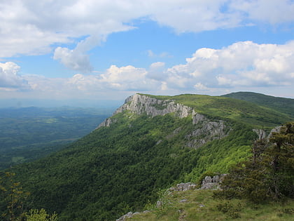
Tupižnica is a mountain in eastern Serbia, between towns of Boljevac, Zaječar and Knjaževac. Its highest peaks, Bučanski kamen and Glogovački vrh have an elevation of 1,160 m and 1,162 m. ()
Local name: ТупижницаElevation: 3812 ftCoordinates: 43°42'6"N, 22°9'10"E
Location
Zaječarski
ContactAdd
Social media
Add
Day trips
Tupižnica – popular in the area (distance from the attraction)
Nearby attractions include: Slemen.

