Ostrvica Fortress

Gallery (1)
Map
Map
Facts and practical information
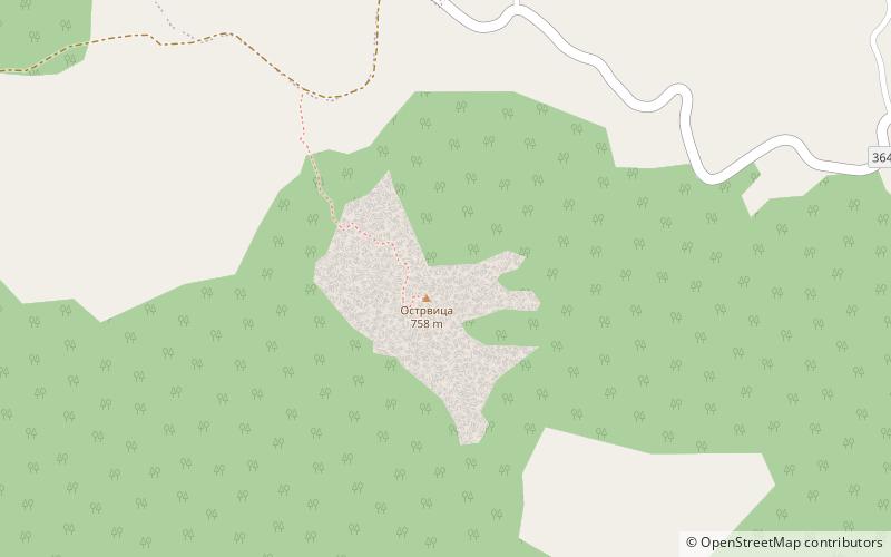
Ostrvica or Ostrovica was a small fortified town built on one of the peaks of Rudnik mountain, 4 kilometres northwest of the town of Rudnik. After 1323/1324, when it was recorded for the first time, it belonged to the Kingdom of Serbia, Serbian Empire, Moravian Serbia, Serbian Despotate and Ottoman Empire. In 1451 the Ottomans razed it to the ground. ()
Location
Moravički
ContactAdd
Social media
Add
Day trips
Ostrvica Fortress – popular in the area (distance from the attraction)
Nearby attractions include: Rudnik Mountain.
