Obrenovac-Surčin Bridge
Map

Map

Facts and practical information
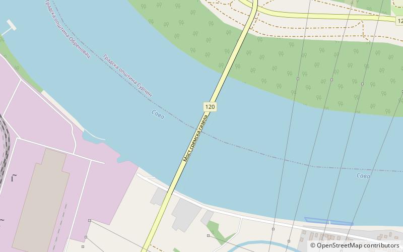
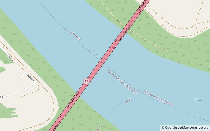
The Obrenovac-Surčin Bridge is the bridge crossing the river Sava in the suburban section of Belgrade, the capital of Serbia. With the partially steel and partially concrete construction today, the building of the bridge began in 1994 when it was conceived as the carrier for the district heating pipeline. The works were halted in 1997 and the project was adapted to include the carriageways. Construction was resumed in 2010 and the bridge was opened on 1 December 2011. ()
Local name: Most Obrenovac - SurčinOpened: 2011 (15 years ago)Length: 2060 ftWidth: 48 ftHeight: 54 ftCoordinates: 44°40'25"N, 20°10'0"E
Location
Grad Beograd
ContactAdd
Social media
Add
Day trips
Obrenovac-Surčin Bridge – popular in the area (distance from the attraction)
Nearby attractions include: Fenek monastery, Forest of Bojcin, Obrenovac-Surčin Bridge, Stubline transmitter.


