Hisar Hill, Leskovac
Gallery (2)
Map
Map
Gallery
Facts and practical information
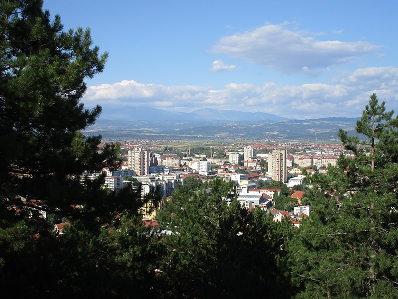
The Hisar is a 341-metre-tall hill near the town of Leskovac in southern Serbia. A town's symbol, the hill is known for the remains of the large, fortified Bronze Age settlement and has been declared a nature park. The evidence confirm the almost continuous habitation from the Neolithic to the Ottoman period, and as the town of Leskovac engulfs the hill, until today. ()
Local name: ХисарCoordinates: 42°59'31"N, 21°56'9"E
Address
Leskovac
ContactAdd
Social media
Add
Day trips