Crnokosa
Map
Facts and practical information
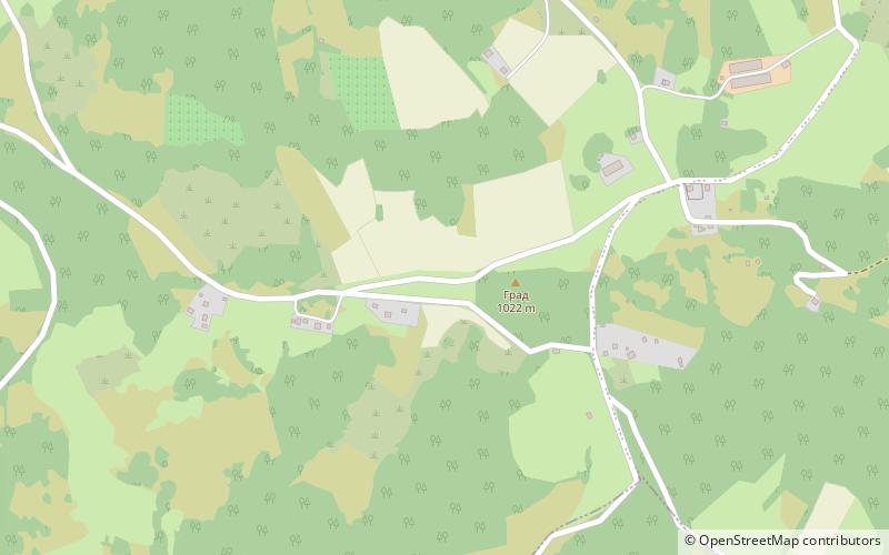
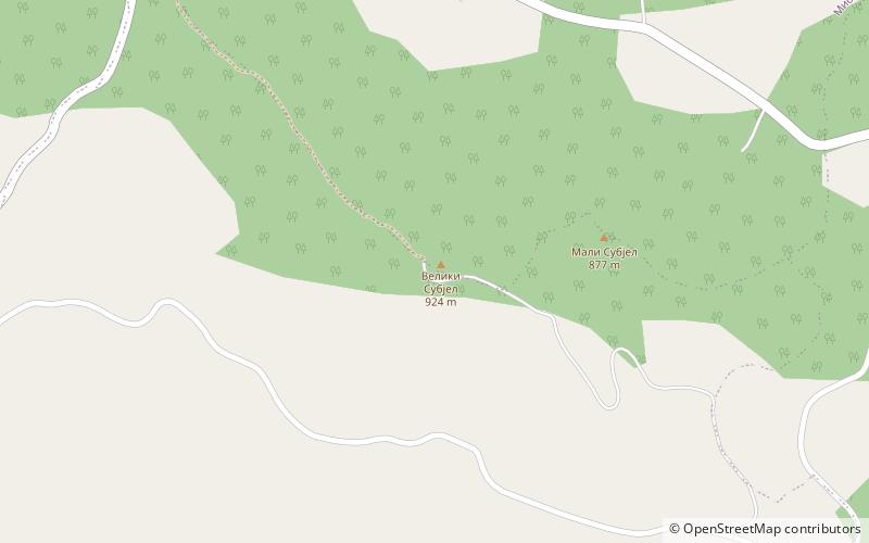
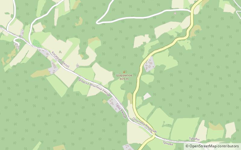
Crnokosa is a mountain in western Serbia, near the town of Kosjerić. Its highest peak Šarampov has an elevation of 809 m above sea level. It runs around 9 km along the Skrapež river, steeply closing its southern valley, while its southern slopes are milder. ()
Elevation: 2654 ftCoordinates: 43°58'2"N, 19°54'59"E
Location
Zlatiborski
ContactAdd
Social media
Add
Day trips