Pljačkovica

Gallery (1)
Map
Map
Facts and practical information
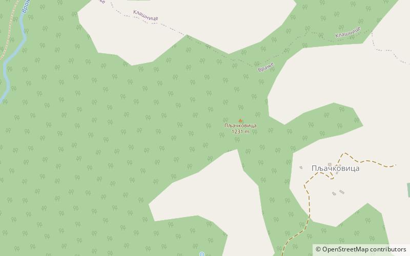
Pljačkovica is a mountain in southern Serbia, overlooking the city of Vranje. Its highest peak has an elevation of 1,231 meters above sea level. ()
Elevation: 4039 ftCoordinates: 42°35'25"N, 21°53'53"E
Location
Pčinjski
ContactAdd
Social media
Add
Day trips