Ostružnica Bridge, Belgrade
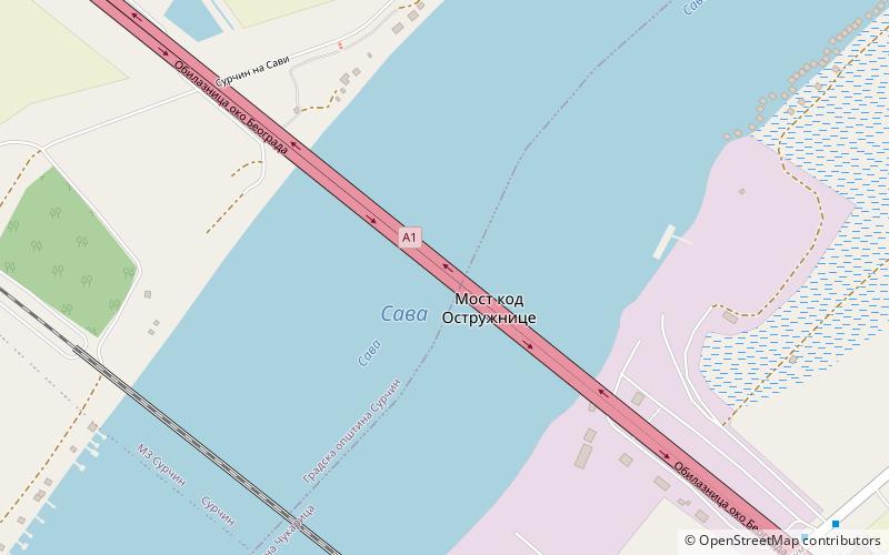
Map
Facts and practical information
Ostružnica Bridge is a six-lane girder bridge carrying the Belgrade bypass over the Sava at Ostružnica. First half was constructed by Mostogradnja between 1990 and 1998. Total length of the bridge is 1,789.6 m, with a 588 m long continuous steel structure crossing the river in five spans. The largest span is 198 m. The bridge was bombed by NATO during the Kosovo War in 1999 and fully reconstructed by 2004. Additional three lanes on the parallel, twin bridge were built from 2016 to 2020. ()
Coordinates: 44°44'31"N, 20°19'9"E
Address
Belgrade
ContactAdd
Social media
Add
Day trips
Ostružnica Bridge – popular in the area (distance from the attraction)
Nearby attractions include: Ada Ciganlija, Fenek monastery, Archive of Serbia, Yuri Gagarin Street.
Frequently Asked Questions (FAQ)
How to get to Ostružnica Bridge by public transport?
The nearest stations to Ostružnica Bridge:
Bus
Bus
- Надвожњак • Lines: 92 (11 min walk)
- Железнички Надвожњак • Lines: 91, 92 (12 min walk)


