Kinđa
Map
Gallery
Facts and practical information
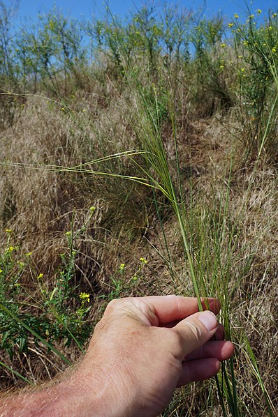
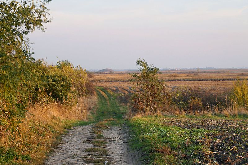
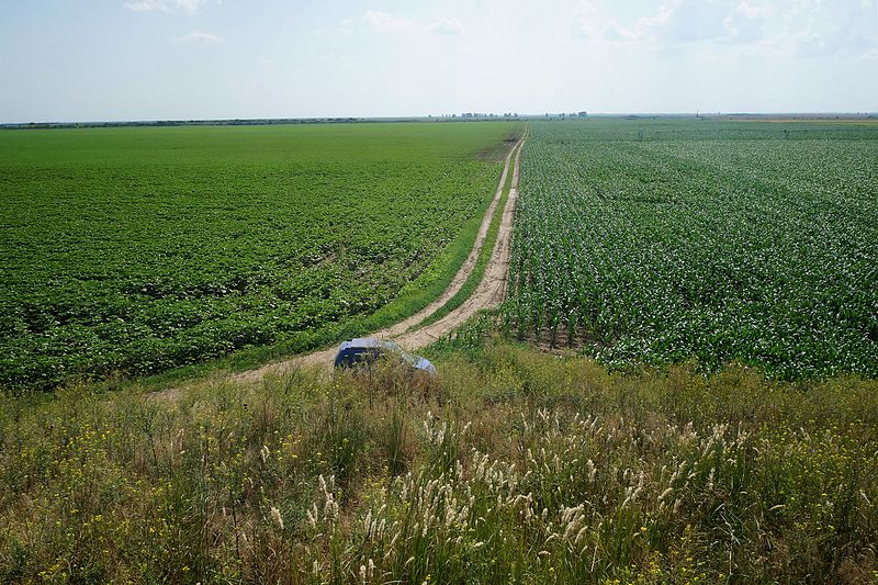
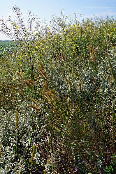
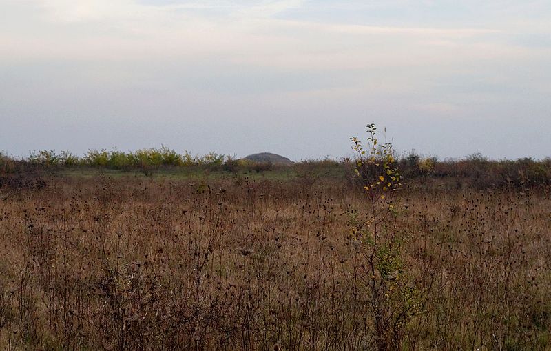
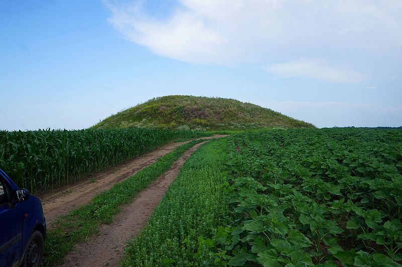
Kinđa is a Copper Age kurgan, or burial mound, in Serbia. Situated in the northeastern part of Vojvodina, near the town of Kikinda. Even though an artificial feature, it is one of the highest points of the north and northeastern part of the Serbian section of Banat. ()
Local name: КинђаCoordinates: 45°51'17"N, 20°23'32"E
Location
Severno-Banatski
ContactAdd
Social media
Add
Day trips
Kinđa – popular in the area (distance from the attraction)
Nearby attractions include: Monastery of the Holy Trinity, Suvača, City Stadium Kikinda, Stadium FK ŽAK.


